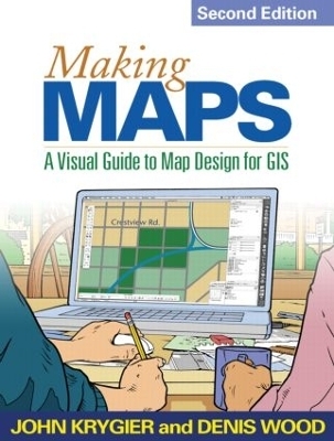
Making Maps, Second Edition
A Visual Guide to Map Design for GIS
Seiten
2011
|
2nd edition
Guilford Publications (Verlag)
978-1-60918-166-6 (ISBN)
Guilford Publications (Verlag)
978-1-60918-166-6 (ISBN)
- Titel erscheint in neuer Auflage
- Artikel merken
Zu diesem Artikel existiert eine Nachauflage
Acclaimed for its innovative use of visual material, this book is engaging, clear, and compelling - exactly how an effective map should be.
Acclaimed for its innovative use of visual material, this book is engaging, clear, and compelling—exactly how an effective map should be. Nearly every page is organized around maps and other figures (many in full color) that illustrate all aspects of map making, including instructive examples of both good and poor design choices. The book covers everything from locating and processing data to making decisions about layout, symbols, color, and type. Readers are invited to think critically about both the technical features and social significance of maps as they learn to create better maps of their own. New to This Edition*Extensively revised and expanded core chapters on map design.*An annotated map design exemplar is used to show how the concepts in each chapter play out on an actual map. *Updated to reflect current technological developments.*Larger size and redesigned pages make the book even more user friendly.
Acclaimed for its innovative use of visual material, this book is engaging, clear, and compelling—exactly how an effective map should be. Nearly every page is organized around maps and other figures (many in full color) that illustrate all aspects of map making, including instructive examples of both good and poor design choices. The book covers everything from locating and processing data to making decisions about layout, symbols, color, and type. Readers are invited to think critically about both the technical features and social significance of maps as they learn to create better maps of their own. New to This Edition*Extensively revised and expanded core chapters on map design.*An annotated map design exemplar is used to show how the concepts in each chapter play out on an actual map. *Updated to reflect current technological developments.*Larger size and redesigned pages make the book even more user friendly.
John Krygier, Department of Geology and Geography, Ohio Wesleyan University, Delaware, OH, USA and Denis Wood, Raleigh, NC, USA
1. How to Make a Map
2. What's Your Map For?
3. Mappable Data
4. Map-Making Tools
5. The Geographic Framework
6. The Big Picture
7. Inner Workings
8. Map Generalization and Classification
9. Map Symbolization
10. Words on Maps
11. Color on Maps
| Erscheint lt. Verlag | 13.5.2011 |
|---|---|
| Verlagsort | New York |
| Sprache | englisch |
| Maße | 178 x 254 mm |
| Gewicht | 772 g |
| Themenwelt | Naturwissenschaften ► Geowissenschaften ► Geografie / Kartografie |
| Sozialwissenschaften ► Soziologie | |
| ISBN-10 | 1-60918-166-2 / 1609181662 |
| ISBN-13 | 978-1-60918-166-6 / 9781609181666 |
| Zustand | Neuware |
| Informationen gemäß Produktsicherheitsverordnung (GPSR) | |
| Haben Sie eine Frage zum Produkt? |
Mehr entdecken
aus dem Bereich
aus dem Bereich
über eine faszinierende Welt zwischen Wasser und Land und warum sie …
Buch | Hardcover (2023)
dtv (Verlag)
CHF 33,55
Buch | Hardcover (2024)
Schweizerbart'sche, E. (Verlag)
CHF 33,55


