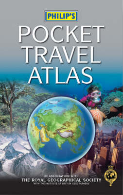
Philip's Pocket Travel Atlas
Seiten
2007
|
4th Revised edition
Philip's (Verlag)
978-0-540-09015-0 (ISBN)
Philip's (Verlag)
978-0-540-09015-0 (ISBN)
- Titel erscheint in neuer Auflage
- Artikel merken
Zu diesem Artikel existiert eine Nachauflage
Intended for the regular or long-distance traveller, this atlas features coloured maps, showing cities and towns, as well as major transport routes and administrative boundaries. The travel information section includes population statistics and maps showing time zones, flight paths and world climate.
"Philip's Pocket Travel Atlas" is a small-format hardback, packed with detail for the regular or long-distance traveller. The 96 pages of up-to-date maps are physically coloured to give a visual impression of the Earth's surface, with cities and towns, as well as major transport routes and administrative boundaries, clearly shown. The detailed travel information section includes population statistics and maps showing time zones, flight paths and world climate, together with city-centre plans for 24 of the world's most visited cities, arranged in alphabetical order. In addition, a concise Gazetteer of Nations provides up-to-date information for 150 of the world's countries, with key facts on currencies, languages and governments, plus current medical and travel advice. At the end of the atlas, the 64-page letter-figure index lists all major towns and cities, plus numerous geographical features such as mountains, deserts, rivers and lakes. This compact atlas is ideal for business travellers, gap-year students, cruise-line passengers or anyone else visiting a number of countries.
"Philip's Pocket Travel Atlas" is a small-format hardback, packed with detail for the regular or long-distance traveller. The 96 pages of up-to-date maps are physically coloured to give a visual impression of the Earth's surface, with cities and towns, as well as major transport routes and administrative boundaries, clearly shown. The detailed travel information section includes population statistics and maps showing time zones, flight paths and world climate, together with city-centre plans for 24 of the world's most visited cities, arranged in alphabetical order. In addition, a concise Gazetteer of Nations provides up-to-date information for 150 of the world's countries, with key facts on currencies, languages and governments, plus current medical and travel advice. At the end of the atlas, the 64-page letter-figure index lists all major towns and cities, plus numerous geographical features such as mountains, deserts, rivers and lakes. This compact atlas is ideal for business travellers, gap-year students, cruise-line passengers or anyone else visiting a number of countries.
| Zusatzinfo | 96 pages of digital physical mapping, 72 pages of travel information including plans of 24 major cities & a concise gazetteer of 150 countries |
|---|---|
| Verlagsort | London |
| Sprache | englisch |
| Maße | 122 x 184 mm |
| Gewicht | 386 g |
| Themenwelt | Reisen ► Karten / Stadtpläne / Atlanten |
| ISBN-10 | 0-540-09015-8 / 0540090158 |
| ISBN-13 | 978-0-540-09015-0 / 9780540090150 |
| Zustand | Neuware |
| Haben Sie eine Frage zum Produkt? |
Mehr entdecken
aus dem Bereich
aus dem Bereich
Buch | Hardcover (2022)
Klett (Verlag)
CHF 43,90


