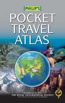
Philip's Pocket Travel Atlas
Seiten
2005
|
3rd Revised edition
Philip's (Verlag)
978-0-540-08874-4 (ISBN)
Philip's (Verlag)
978-0-540-08874-4 (ISBN)
- Titel erscheint in neuer Auflage
- Artikel merken
Zu diesem Artikel existiert eine Nachauflage
Useful for the regular or long distance traveller. The 96 pages of maps are physically coloured to give a representation of the Earth's surface, with cities and towns, as well as major transport routes and administrative boundaries, clearly shown.
"Philip's Pocket Travel Atlas" is a small-format hardback, packed with detail: an ideal reference for the regular or long distance traveller. The 96 pages of up-to-date maps are physically coloured to give a superb representation of the Earth's surface, with cities and towns, as well as major transport routes and administrative boundaries, clearly shown.
"Philip's Pocket Travel Atlas" is a small-format hardback, packed with detail: an ideal reference for the regular or long distance traveller. The 96 pages of up-to-date maps are physically coloured to give a superb representation of the Earth's surface, with cities and towns, as well as major transport routes and administrative boundaries, clearly shown.
| Erscheint lt. Verlag | 29.10.2005 |
|---|---|
| Reihe/Serie | Philip's World Atlases |
| Zusatzinfo | 96digital physical mapping, 72travel information(incl plans of 24 major cities), a concise gazetteer of 150 countries |
| Verlagsort | London |
| Sprache | englisch |
| Maße | 120 x 185 mm |
| Gewicht | 388 g |
| Themenwelt | Reisen ► Karten / Stadtpläne / Atlanten |
| ISBN-10 | 0-540-08874-9 / 0540088749 |
| ISBN-13 | 978-0-540-08874-4 / 9780540088744 |
| Zustand | Neuware |
| Haben Sie eine Frage zum Produkt? |
Mehr entdecken
aus dem Bereich
aus dem Bereich
Buch | Hardcover (2022)
Klett (Verlag)
CHF 43,90


