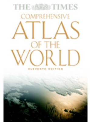
The "Times" Atlas of the World
Seiten
2003
|
11th Revised edition
Collins (Verlag)
978-0-00-715720-4 (ISBN)
Collins (Verlag)
978-0-00-715720-4 (ISBN)
- Titel erscheint in neuer Auflage
- Artikel merken
Zu diesem Artikel existiert eine Nachauflage
Featuring 250 pages of updated detailed mapping and a specially commissioned 72 page introductory section, this atlas presents a comprehensive picture of the world in the 21st century. Since it's first edition in 1967, the atlas has sold over 1 million copies. Its detailed and mapping represents a blend of tradition, authority and style. The 10th edition, published in 1999, was the first completely new edition of the atlas since its introduction. Now this fully revised 11th edition brings all the reference maps and detailed thematic information completely up to date. The preliminary section is introduced by state-of-the-art satellite images of the continents and continues with a series of maps, images, photographs and graphics which present a detailed picture of today's physical world and man's interaction with it. The section also includes an account of the evolution of world maps and of significant developments in cartography, and concludes with detailed geographical information on the world's physical features and the world's states and territories.
The reference maps, produced in the distinctive and authoritative Times style, present the most accurate and up-to-date representation of our knowledge of the earth today. The areas shown, and the scale and map projection of each plate, have been specifically chosen to give the best representation of each geographical area. The maps now include a brand new map of the world's physical features. The gazetteer-index to over 200,000 place names and geographical features illustrates the unique scope of the atlas. It includes full cross-referencing with alternative and former names, geographical coordinates of every settlement shown on the maps, and a comprehensive glossary of geographical terms. The atlas includes: a 72-page introductory section; 250 pages of reference maps of continents, countries and oceans; and a 224 page gazetteer index to over 200,000 place names and geographical features.
The reference maps, produced in the distinctive and authoritative Times style, present the most accurate and up-to-date representation of our knowledge of the earth today. The areas shown, and the scale and map projection of each plate, have been specifically chosen to give the best representation of each geographical area. The maps now include a brand new map of the world's physical features. The gazetteer-index to over 200,000 place names and geographical features illustrates the unique scope of the atlas. It includes full cross-referencing with alternative and former names, geographical coordinates of every settlement shown on the maps, and a comprehensive glossary of geographical terms. The atlas includes: a 72-page introductory section; 250 pages of reference maps of continents, countries and oceans; and a 224 page gazetteer index to over 200,000 place names and geographical features.
| Erscheint lt. Verlag | 6.10.2003 |
|---|---|
| Zusatzinfo | 320 col plates |
| Verlagsort | London |
| Sprache | englisch |
| Maße | 316 x 456 mm |
| Gewicht | 5550 g |
| Themenwelt | Reisen ► Karten / Stadtpläne / Atlanten |
| ISBN-10 | 0-00-715720-7 / 0007157207 |
| ISBN-13 | 978-0-00-715720-4 / 9780007157204 |
| Zustand | Neuware |
| Haben Sie eine Frage zum Produkt? |
Mehr entdecken
aus dem Bereich
aus dem Bereich
Buch | Hardcover (2012)
Westermann Schulbuchverlag
CHF 44,90
Schulbuch Klassen 7/8 (G9)
Buch | Hardcover (2015)
Klett (Verlag)
CHF 29,90
Buch | Softcover (2004)
Cornelsen Verlag
CHF 23,90


