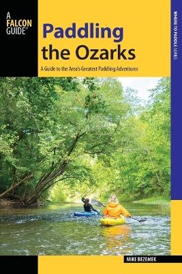
Paddling the Ozarks
A Guide to the Area's Greatest Paddling Adventures
Seiten
2017
Falcon Guides (Verlag)
978-1-4930-2542-8 (ISBN)
Falcon Guides (Verlag)
978-1-4930-2542-8 (ISBN)
This guide details 40 of the very best paddles throughout the Ozarks. Spanning Oklahoma, Illinois, Arkansas, and Missouri, the guide provides routes for every type of paddler.
With gushing springs, clear-water streams, lush hardwood forests, and limestone bluffs rising hundreds of feet, the Ozarks offer enough paddling to fill a lifetime, including seven streams in the National Wild & Scenic Rivers system and three rivers protected by national parks. Paddling the Ozarks details 40 of the region's best paddling trips—classic floats, hidden gems, scenic lakes, and challenging whitewater. Waterways ranging from southern Missouri to northern Arkansas to Oklahoma’s Cookson Hills with year-round classics like the Current River, Jacks Fork, NF White, and Eleven Point make this the essential guide to paddling the Ozarks. Paddling the Ozarks reveals that what some call flyover country is better described as paddle-through.
Look inside to find:
·GPS coordinates for every put-in/takeout
·Detailed river descriptions
·Maps showing access points and river miles
·Level of difficulty, optimal flows, rapids, and other hazards
Mike Bezemek is an avid paddler of whitewater rivers, lakes, float streams, and seas across the U.S. and around the world. He contributes writing and photography to a variety of publications, including his columns Regular Paddler, Remarkable Waters for Canoe & Kayak Magazine and Bull On Tap. You can contact him and view his work by visiting mikebezemek.com.
| Erscheinungsdatum | 25.05.2017 |
|---|---|
| Sprache | englisch |
| Maße | 150 x 229 mm |
| Gewicht | 390 g |
| Themenwelt | Sachbuch/Ratgeber ► Sport ► Segeln / Tauchen / Wassersport |
| Reiseführer ► Nord- / Mittelamerika ► USA | |
| ISBN-10 | 1-4930-2542-2 / 1493025422 |
| ISBN-13 | 978-1-4930-2542-8 / 9781493025428 |
| Zustand | Neuware |
| Informationen gemäß Produktsicherheitsverordnung (GPSR) | |
| Haben Sie eine Frage zum Produkt? |


