The West Highland Way
Cicerone Press (Verlag)
978-1-85284-857-6 (ISBN)
- Titel ist leider vergriffen;
keine Neuauflage - Artikel merken
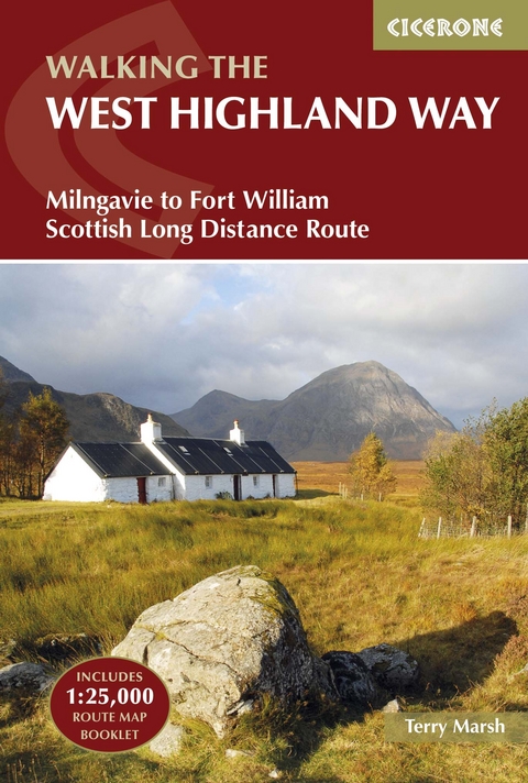
A guidebook to Scotland's West Highland Way, a 95-mile walk from Milngavie near Glasgow to Fort William, passing Loch Lomond, crossing Rannoch Moor and finishing in the shadow of Britain's highest mountain. The walk, which takes roughly one week to complete, is described in seven stages, with each stage ranging from 8 to 20 miles. The guide details the 'classic' south-north direction but also provides a summary description for those wanting to walk the route in the opposite direction. The guidebook, which features step-by-step route descriptions, 1:100K mapping, handy practical information as well as notes on the region's history, culture and geography, is accompanied by a separate, pocket-sized 1:25K OS map booklet, providing all the mapping you need to walk the route. Passing from the lowlands to the highlands, the West Highland Way, which is one of Scotland's Great Trails, showcases the splendour of glens flanked by great mountains, majestic moorland and sprawling farmland. It is the perfect adventure for distance walkers keen to discover the wild beauty of western Scotland.
Dr Terry Marsh is a Lancashire-based award-winning writer and photographer who specialises in the outdoors, the countryside, walking and travel worldwide. He has been writing books since the mid-1980s, and is the author of over 100 titles. Terry holds a PhD in Historical Geography and a Master of Arts degree (with Distinction) in Lake District Studies, is a Fellow of the Royal Geographical Society (FRGS) and the Society of Antiquaries of Scotland (FSA Scot), a member of the National Union of Journalists, and an Honorary Life Member of the Outdoor Writers and Photographers Guild.
Map key
Overview map
West Highland Way trek planner
Route summary tables
Preface
Introduction
From the Lowlands to the Highlands
How hard and how remote?
Planning your trip
Suggested itineraries
When to go
Getting there and back
Transport along the route
First nights and last nights
Accommodation en route
Facilities en route
Pack-carrying services
Cash management
Preparation and what to take
Planning day by day
Using this guide
Digital and printed maps
Waymarking
Emergencies
Weather forecasts
Phones and internet
All about the Highlands
Geography
Geology
Plants and wildlife
History and culture
Food and drink
The West Highland Way
Stage 1 Milngavie to Drymen
Stage 2 Drymen to Rowardennan
Stage 3 Rowardennan to Crianlarich
Stage 4 Crianlarich to Bridge of Orchy
Stage 5 Bridge of Orchy to Kingshouse
Stage 6 Kingshouse to Kinlochleven
Stage 7 Kinlochleven to Fort William
Appendix A Useful contacts
Appendix B Accommodation
Appendix C Further reading
| Erscheinungsdatum | 25.08.2016 |
|---|---|
| Reihe/Serie | Cicerone guidebooks |
| Zusatzinfo | 52 photos 14 maps |
| Verlagsort | Kendal |
| Sprache | englisch |
| Maße | 116 x 172 mm |
| Gewicht | 230 g |
| Themenwelt | Sachbuch/Ratgeber ► Sport |
| Reiseführer ► Europa ► Großbritannien | |
| Reiseführer ► Europa ► Schottland | |
| Reisen ► Sport- / Aktivreisen ► Europa | |
| ISBN-10 | 1-85284-857-X / 185284857X |
| ISBN-13 | 978-1-85284-857-6 / 9781852848576 |
| Zustand | Neuware |
| Informationen gemäß Produktsicherheitsverordnung (GPSR) | |
| Haben Sie eine Frage zum Produkt? |
aus dem Bereich


