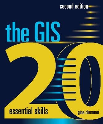
The GIS 20
ESRI Press (Verlag)
978-1-58948-322-4 (ISBN)
- Titel erscheint in neuer Auflage
- Artikel merken
Gina Clemmer, president of the research and training company New Urban Research, Inc., has trained thousands of new GIS users from across the United States. Clemmer holds a master's degree in urban planning from the University of Iowa.
Introduction
Chapter 1: Downloading shapefiles and using essential ArcMap tools
Chapter 2: Creating basic maps and layouts
Chapter 3: Projecting shapefiles
Chapter 4: Preparing data for ArcMap
Chapter 5: Joining data to maps
Chapter 6: Creating thematic maps
Chapter 7: Working with data tables
Chapter 8: Address mapping
Chapter 9: Creating a categorical map
Chapter 10: GPS point mapping
Chapter 11: Editing
Chapter 12: Creating attribute queries
Chapter 13: Creating location queries
Chapter 14: Using geoprocessing tools
Chapter 15: Creating geodatabases
Chapter 16: Joining boundaries
Chapter 17: Working with aerial photography
Chapter 18: Creating reports
Chapter 19: Sharing work
Chapter 20: Publishing maps
About bonus exercises
Bonus 1: Understanding common file types
Bonus 2: Advanced labeling
Bonus 3: Creating custom symbology
Bonus 4: Exporting to KML format
Bonus 5: Esri Maps for Microsoft Office
Bonus 6: Metadata
Bonus 7: Working with multiple data frames
Bonus 8: Enabling time
Bonus 9: Creating map books
A note to the reader
Data and image source credits
Data license agreement
Index
| Zusatzinfo | 147 illustrations |
|---|---|
| Verlagsort | Redlands |
| Sprache | englisch |
| Themenwelt | Reisen ► Karten / Stadtpläne / Atlanten ► Welt / Arktis / Antarktis |
| Reisen ► Reiseführer | |
| Schulbuch / Wörterbuch ► Lexikon / Chroniken | |
| Naturwissenschaften ► Geowissenschaften ► Geografie / Kartografie | |
| ISBN-10 | 1-58948-322-7 / 1589483227 |
| ISBN-13 | 978-1-58948-322-4 / 9781589483224 |
| Zustand | Neuware |
| Informationen gemäß Produktsicherheitsverordnung (GPSR) | |
| Haben Sie eine Frage zum Produkt? |
aus dem Bereich


