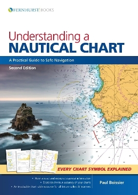
Understanding a Nautical Chart - 2e
Fernhurst Books Limited (Verlag)
978-1-912177-07-3 (ISBN)
We all rely on charts to navigate at sea - but are we missing essential information? A mass of data is included on each chart and deciphering the many symbols and abbreviations can be complicated. The accuracy of some charted depths can be trusted entirely while others should be treated with caution. This book will tell you where to find and how to understand this vital knowledge. This updated second edition explains how charts are compiled before guiding you through the elements that make up these vital navigational tools. Improve your understanding of charts and you will navigate with increased safety and confidence. Understanding a Nautical Chart offers superb value as, in addition to a wealth of practical advice, there is a key to all the recently updated chart symbols and abbreviations from Symbols and Abbreviations Used on Admiralty Charts (5011). It includes information on electronic charts, explains how to update a chart and how to establish the accuracy of each chart. It is ideal for professional mariners and leisure sailors.
Paul Boissier was formerly a senior Admiral in the Royal Navy, and has spent much of his career at sea in a wide variety of vessels, commanding two submarines and a warship. He is also a very experienced yachtsman and has cruised extensively. He is now the Chief Executive of the RNLI, the charity that saves lives at sea, and operates over 340 lifeboats around the UK and the Republic of Ireland.
1-What is a Chart? 2-A Chart is Never 100% Accurate. 3-What the Chart-Maker Does for Us. 4-Other Relevant Documentation. 5-How to Use a Chart. 6-Orientation. 7-The Basics (and Where to Find Them). 8-Depth and Elevations. 9-Landmarks, Lights and Coastal Features. 10-Dangers: Wrecks, Rocks and Obstructions. 11-Navigation Restrictions and Limits. 12-Radar and Radio. 13-Tides, Tidal Streams and Currents. 14-Small Craft Features. 15-Other Charting Authorities. 16-GPS. 17-Digital Charting. Symbols & Abbreviations used on Admiralty Paper Charts.
| Erscheinungsdatum | 18.04.2018 |
|---|---|
| Verlagsort | Leamington Spa |
| Sprache | englisch |
| Maße | 210 x 295 mm |
| Gewicht | 864 g |
| Themenwelt | Sachbuch/Ratgeber ► Sport ► Segeln / Tauchen / Wassersport |
| Naturwissenschaften ► Geowissenschaften ► Geografie / Kartografie | |
| Technik ► Fahrzeugbau / Schiffbau | |
| ISBN-10 | 1-912177-07-2 / 1912177072 |
| ISBN-13 | 978-1-912177-07-3 / 9781912177073 |
| Zustand | Neuware |
| Haben Sie eine Frage zum Produkt? |
aus dem Bereich


