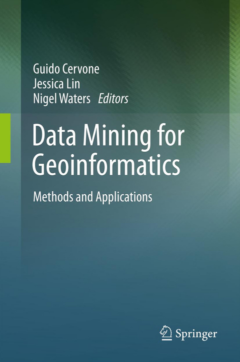
Data Mining for Geoinformatics
Methods and Applications
Seiten
2013
Springer-Verlag New York Inc.
978-1-4614-7668-9 (ISBN)
Springer-Verlag New York Inc.
978-1-4614-7668-9 (ISBN)
The rate at which geospatial data is being generated exceeds our computational capabilities to extract patterns for the understanding of a dynamically changing world. Geoinformatics and data mining focuses on the development and implementation of computational algorithms to solve these problems.
This unique volume contains a collection of chapters on state-of-the-art data mining techniques applied to geoinformatic problems of high complexity and important societal value. Data Mining for Geoinformatics addresses current concerns and developments relating to spatio-temporal data mining issues in remotely-sensed data, problems in meteorological data such as tornado formation, estimation of radiation from the Fukushima nuclear power plant, simulations of traffic data using OpenStreetMap, real time traffic applications of data stream mining, visual analytics of traffic and weather data and the exploratory visualization of collective, mobile objects such as the flocking behavior of wild chickens.
This book is designed for researchers and advanced-level students focused on computer science, earth science and geography as a reference or secondary text book. Practitioners working in the areas of data mining and geoscience will also find this book to be a valuable reference.
Computation in Hyperspectral Imagery (HSI) Data Analysis: Role and Opportunities.- Toward Understanding Tornado Formation Through Spatiotemporal Data Mining.- Source Term Estimation for the 2011 Fukushima Nuclear Accident.- GIS-based Traffic Simulation using OSM.- Evaluation of Real-time Traffic Applications based on Data Stream Mining.- Geospatial Visual Analytics of Traffic and Weather Data for Better Winter Road Management.- Exploratory visualization of collective mobile objects data using temporal granularity and spatial similarity.
| Erscheint lt. Verlag | 17.8.2013 |
|---|---|
| Zusatzinfo | XI, 166 p. |
| Verlagsort | New York, NY |
| Sprache | englisch |
| Maße | 155 x 235 mm |
| Themenwelt | Informatik ► Datenbanken ► Data Warehouse / Data Mining |
| Informatik ► Theorie / Studium ► Künstliche Intelligenz / Robotik | |
| Naturwissenschaften ► Geowissenschaften ► Geografie / Kartografie | |
| Naturwissenschaften ► Geowissenschaften ► Geologie | |
| Schlagworte | computational methods • Data Mining • earth science • geoinformatics • geoscience • GIS • machine learning • Natural Hazards • Regression • Remote Sensing |
| ISBN-10 | 1-4614-7668-2 / 1461476682 |
| ISBN-13 | 978-1-4614-7668-9 / 9781461476689 |
| Zustand | Neuware |
| Haben Sie eine Frage zum Produkt? |
Mehr entdecken
aus dem Bereich
aus dem Bereich
Datenanalyse für Künstliche Intelligenz
Buch | Softcover (2024)
De Gruyter Oldenbourg (Verlag)
CHF 104,90
Auswertung von Daten mit pandas, NumPy und IPython
Buch | Softcover (2023)
O'Reilly (Verlag)
CHF 62,85


