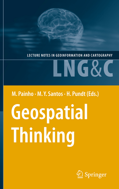
Geospatial Thinking
Seiten
2012
|
2010
Springer Berlin (Verlag)
978-3-642-26310-1 (ISBN)
Springer Berlin (Verlag)
978-3-642-26310-1 (ISBN)
For the fourth consecutive year, the Association of Geographic Infor- tion Laboratories for Europe (AGILE) promoted the edition of a book with the collection of the scientific papers that were submitted as full-papers to the AGILE annual international conference. Those papers went through a th competitive review process. The 13 AGILE conference call for fu- papers of original and unpublished fundamental scientific research resulted in 54 submissions, of which 21 were accepted for publication in this - lume (acceptance rate of 39%). Published in the Springer Lecture Notes in Geoinformation and Car- th graphy, this book is associated to the 13 AGILE Conference on G- graphic Information Science, held in 2010 in Guimarães, Portugal, under the title "Geospatial Thinking". The efficient use of geospatial information and related technologies assumes the knowledge of concepts that are fundamental components of Geospatial Thinking, which is built on reasoning processes, spatial conc- tualizations, and representation methods. Geospatial Thinking is associated with a set of cognitive skills consisting of several forms of knowledge and cognitive operators used to transform, combine or, in any other way, act on that same knowledge. The scientific papers published in this volume cover an important set of topics within Geoinformation Science, including: Representation and Visualisation of Geographic Phenomena; Spatiotemporal Data Analysis; Geo-Collaboration, Participation, and Decision Support; Semantics of Geoinformation and Knowledge Discovery; Spatiotemporal Modelling and Reasoning; and Web Services, Geospatial Systems and Real-time Appli- tions.
Hardy Pundt, geboren 1964, stammt von der Insel Memmert und verbrachte Kindheit und Jugend in Ostfriesland. Nach über 20 Jahren in Westfalen lebt er heute mit seiner Familie in Schleswig-Holstein. Er ist Hochschuldozent und kann auf zahlreiche wissenschaftliche Veröffentlichungen zurückblicken.
Representation and Visualisation of Geographic Phenomena.- Spatiotemporal Data Analysis.- Geo-Collaboration, Participation and Decision Support.- Semantics of Geoinformation and Knowledge Discovery.- Spatiotemporal Modelling and Reasoning.- Web Services, Geospatial Systems and Real-time Applications.
| Erscheint lt. Verlag | 28.5.2012 |
|---|---|
| Reihe/Serie | Lecture Notes in Geoinformation and Cartography |
| Zusatzinfo | XVIII, 418 p. 243 illus. |
| Verlagsort | Berlin |
| Sprache | englisch |
| Maße | 155 x 235 mm |
| Gewicht | 656 g |
| Themenwelt | Naturwissenschaften ► Geowissenschaften ► Geografie / Kartografie |
| Naturwissenschaften ► Geowissenschaften ► Geologie | |
| Naturwissenschaften ► Geowissenschaften ► Geophysik | |
| Schlagworte | Catalog Service for the Web • geographic data • Geoinformation • Georeferencing • Geospatial • geotagging • Spatial Data Infrastructure • Web Feature Service |
| ISBN-10 | 3-642-26310-0 / 3642263100 |
| ISBN-13 | 978-3-642-26310-1 / 9783642263101 |
| Zustand | Neuware |
| Haben Sie eine Frage zum Produkt? |
Mehr entdecken
aus dem Bereich
aus dem Bereich
über eine faszinierende Welt zwischen Wasser und Land und warum sie …
Buch | Hardcover (2023)
dtv (Verlag)
CHF 33,55
Buch | Hardcover (2024)
Schweizerbart'sche, E. (Verlag)
CHF 33,55
Eine Einführung in die spezielle Mineralogie, Petrologie und …
Buch | Hardcover (2022)
Springer Spektrum (Verlag)
CHF 83,95


