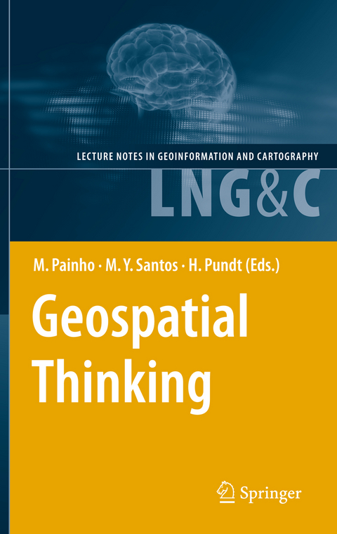
Geospatial Thinking
Springer Berlin (Verlag)
978-3-642-12325-2 (ISBN)
Hardy Pundt, geboren 1964, stammt von der Insel Memmert und verbrachte Kindheit und Jugend in Ostfriesland. Nach über 20 Jahren in Westfalen lebt er heute mit seiner Familie in Schleswig-Holstein. Er ist Hochschuldozent und kann auf zahlreiche wissenschaftliche Veröffentlichungen zurückblicken.
Intersection of Nonconvex Polygons Using the Alternate Hierarchical Decomposition.- Visual Analytics of Urban Environments using High-Resolution Geographic Data.- A Visual Query Language for Spatial Data Warehouses.- The Impact of Data Quality in the Context of Pedestrian Movement Analysis.- Visit Potential: A Common Vocabulary for the Analysis of Entity-Location Interactions in Mobility Applications.- Pre-School Facilities and Catchment Area Profiling: a Planning Support Method.- A Geo-business Classification for London.- Suggestive Geo-Tagging Assistance for Geo-Collaboration Tools.- A Novel Approach to Mining Travel Sequences Using Collections of Geotagged Photos.- Exposing CSW Catalogues as Linked Data.- Applying Semantic Linkage in the Geospatial Web.- A Machine Learning Approach for Resolving Place References in Text.- Towards a Spatial Semantics to Analyze the Visual Dynamics of the Pedestrian Mobility in the Urban Fabric.- Managing Collapsed Surfaces in Spatial Constraints Validation.- A Spatio-Temporal Model Towards Ad-Hoc Collaborative Decision-Making.- iNav: An Indoor Navigation Model Supporting Length-Dependent Optimal Routing.- MIMEXT: a KML Extension for Georeferencing and Easy Share MIME Type Resources.- Schema Mapping in INSPIRE - Extensible Components for Translating Geospatial Data.- Automated Image-Based Abstraction of Aerial Images.- Geospatial Annotations for 3D Environments and their WFS-based Implementation.- Towards Spatial Data Infrastructures in the Clouds.
| Erscheint lt. Verlag | 15.4.2010 |
|---|---|
| Reihe/Serie | Lecture Notes in Geoinformation and Cartography |
| Zusatzinfo | XVIII, 418 p. 243 illus. |
| Verlagsort | Berlin |
| Sprache | englisch |
| Maße | 155 x 235 mm |
| Gewicht | 812 g |
| Themenwelt | Naturwissenschaften ► Geowissenschaften ► Geografie / Kartografie |
| Naturwissenschaften ► Geowissenschaften ► Geologie | |
| Naturwissenschaften ► Geowissenschaften ► Geophysik | |
| Schlagworte | Catalog Service for the Web • geographic data • Geoinformation • Georeferencing • Geospatial • geotagging • Spatial Data Infrastructure • Web Feature Service |
| ISBN-10 | 3-642-12325-2 / 3642123252 |
| ISBN-13 | 978-3-642-12325-2 / 9783642123252 |
| Zustand | Neuware |
| Haben Sie eine Frage zum Produkt? |
aus dem Bereich


