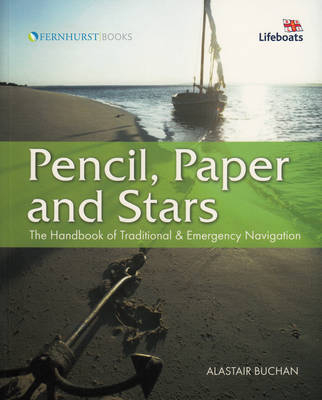
Pencil, Paper and Stars
John Wiley & Sons Inc (Verlag)
978-0-470-51652-2 (ISBN)
- Titel ist leider vergriffen;
keine Neuauflage - Artikel merken
Alastair Buchan began sailing on the Clyde. In a Hurley 20 he sailed single-handed round Britain, and made his first single-handed Atlantic circuit. He made his second in a Dockrell 27 (27ft this time) sailing from Britain to the Caribbean and onto the USA via Venezuela and Cuba before sailing home.
Chapter 1 An Excellent Art. Chapter 2 Another Kind Of Sailing Chapter 3 The First Navigators Chapter 4 All In The Mind Chapter 5 Passage Planning Chapter 6 A Home Made Magnetic Compass Chapter 7 Direction From The Sun Chapter 8 Direction From The Stars Chapter 9 Direction From The Moon Chapter 10 Telling The Time Chapter 11 Dead Reckoning And Estimated Positions Chapter 12 Coastal Navigation Chapter 13 Home Made Sextants Chapter 14 Sextant Corrections Chapter 15 Meridian Sights Chapter 16 Latitude From Polaris Chapter 17 Longitude Chapter 18 Plane Sailing Chapter 19 Chartmaking Chapter 20 Signs Of Landfall Chapter 21 Accuracy Index
| Erscheint lt. Verlag | 1.5.2008 |
|---|---|
| Zusatzinfo | Illustrations, maps |
| Sprache | englisch |
| Maße | 177 x 212 mm |
| Gewicht | 424 g |
| Einbandart | Paperback |
| Themenwelt | Sachbuch/Ratgeber ► Sport ► Segeln / Tauchen / Wassersport |
| Technik ► Fahrzeugbau / Schiffbau | |
| ISBN-10 | 0-470-51652-6 / 0470516526 |
| ISBN-13 | 978-0-470-51652-2 / 9780470516522 |
| Zustand | Neuware |
| Haben Sie eine Frage zum Produkt? |
aus dem Bereich


