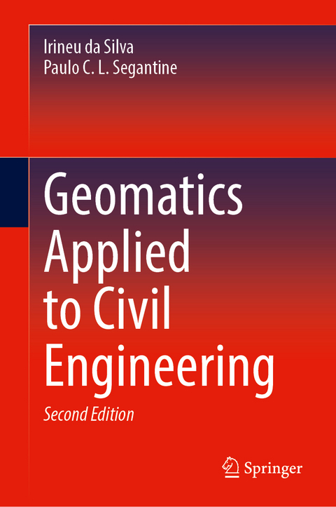
Geomatics Applied to Civil Engineering
Springer International Publishing (Verlag)
9783031757365 (ISBN)
This textbook deals jointly with theoretical and practical concepts within geomatics in civil engineering, based on the global understanding of its use. Written by civil engineers with professional backgrounds in geomatics, the book has a number of unique characteristics, including analysis of geodetic references and their coordinate systems to allow their conversions and applications taking into account the local topographic plan; analysis of the measurements of directions, angles and distances, inserting them into the concepts of practical use of modern measuring instruments; detailed description of the main components of measurement instruments used in geomatics; discussion of instrumentation errors and their implications; and a complete study of UTM Projection System and its variants, equations, and practical application in civil engineering projects. For students and instructors, and practitioners, the subjects covered in the book are organized to cover most topics related to the disciplines of surveying or geomatics studied in civil engineering courses.
It is entirely based on adjustment computation for spatial data analysis including coordinate geometry and traverse computation. To this end, an entire chapter is devoted to adjustment computation based on matrix theory to help readers understand its applications in spatial data analysis throughout the book's chapters; including chapters on modern technologies such as conventional and UAV-based digital photogrammetry, digital terrain modelling, terrestrial laser scanning and BIM.
Dr. Irineu da Silva is an Associate Professor at the University of São Paulo, Brazil, PhD from EPFL (Switzerland). Dr. Paulo C. L. Segantine is an Associate Professor at the University of São Paulo Brazil, PhD from EPUSP (Brazil).
Introduction.- Basic concepts of Geomatics.- Geodetic and topographical reference systems.- Coordinate systems.- Coordinate transformation.- Angles and directions.- Distances in Geomatics.- Distance Measurement.- Surveying instruments.- Surveying instrument errors.- Coordinate geometry in surveying calculations.- Traversing.- Altimetry.- Relief representation.- Digital Terrain Modeling.- Universal Transverse Mercator Projection System - UTM.- Global Navigation Satellite Systems - GNSS.- Terrestrial Laser Scanning - TLS.- Aero photogrammetry.- Details surveying.- Setting out.- Area computation.- Volume computation.- Horizontal and vertical curves.
| Erscheinungsdatum | 15.05.2025 |
|---|---|
| Zusatzinfo | XVII, 1015 p. 561 illus., 369 illus. in color. |
| Verlagsort | Cham |
| Sprache | englisch |
| Maße | 155 x 235 mm |
| Themenwelt | Technik ► Bauwesen |
| Schlagworte | Altimetry • Coordinate Systems • DTM • Geodetic and topographical reference systems • Geomatics • Surveying • Surveying instruments • Traversing • Universal Transverse Mercator Projection |
| ISBN-13 | 9783031757365 / 9783031757365 |
| Zustand | Neuware |
| Informationen gemäß Produktsicherheitsverordnung (GPSR) | |
| Haben Sie eine Frage zum Produkt? |
aus dem Bereich


