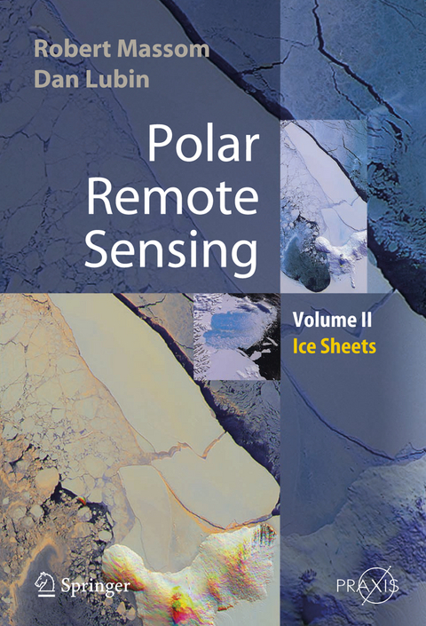
Polar Remote Sensing
Springer Berlin (Verlag)
978-3-540-26101-8 (ISBN)
Polar Remote Sensing is a two-volume work providing a comprehensive, multidisciplinary discussion of the applications of satellite sensing.
Volume 2 focuses on the ice sheets, icebergs, and interactions between ice sheets and the atmosphere and ocean. It contains information about the applications of satellite remote sensing in all relevant polar related disciplines, including glaciology, meteorology, climate and radiation balance and oceanogaraphy. It also provides a brief review of the state-of-the-art of each discipline, including current issues and questions. Various passive and active remote sensor types are discussed, and the book then concentrates on specific geophysical applications. Its interdisciplinary approach means that major advances and publications are highlighted.
Polar Remote Sensing: Ice Sheets
- summarizes fundamental principles of detectors, imaging and geophysical product retrieval
- includes a chapter on the important new field of satellite synthetic-aperture radar interferometry
- is a "one stop shop" for polar remote sensing information
- contains significant new information on the Earth's polar regions
- describes sophisticated groundbased remote sensing applications with specific reference to their use in polar regions.
Polar ice sheets: Introduction.- Synthetic aperture radar interferometry and related techniques.- Satellite remote sensing of ice sheet parameters and processes.
From the reviews:
"Mapping the properties of Earth's polar ice sheets may be remote sensing's greatest success story. ... The main source of confidence in this quest is the strength of polar remote sensing. This book provides an excellent reference and review and contains many of the best recent scientific illustrations and graphics from other publication. Any reader with a scientific interest in the Earth will be frankly astounded at the level of detail now accessible via satellite foe some of Earth's most remote regions." (Ted A. Scambos, Journal of Geology, Vol. 116, 2008)
| Erscheint lt. Verlag | 13.12.2005 |
|---|---|
| Reihe/Serie | Geophysical Sciences |
| Springer Praxis Books | |
| Zusatzinfo | XXXII, 426 p. |
| Verlagsort | Berlin |
| Sprache | englisch |
| Maße | 155 x 235 mm |
| Gewicht | 1110 g |
| Themenwelt | Naturwissenschaften ► Biologie ► Ökologie / Naturschutz |
| Naturwissenschaften ► Geowissenschaften ► Geologie | |
| Naturwissenschaften ► Geowissenschaften ► Geophysik | |
| Naturwissenschaften ► Geowissenschaften ► Meteorologie / Klimatologie | |
| Naturwissenschaften ► Physik / Astronomie | |
| Technik ► Umwelttechnik / Biotechnologie | |
| Schlagworte | Earth Observing System • Fernerkundung • Geoinformationssysteme • Geophysical product retrieval • glaciology • Iceberg • ice sheets • Imaging • Polar • Remote Sensing • Satellite • Satellitengeodäsie |
| ISBN-10 | 3-540-26101-X / 354026101X |
| ISBN-13 | 978-3-540-26101-8 / 9783540261018 |
| Zustand | Neuware |
| Informationen gemäß Produktsicherheitsverordnung (GPSR) | |
| Haben Sie eine Frage zum Produkt? |
aus dem Bereich


