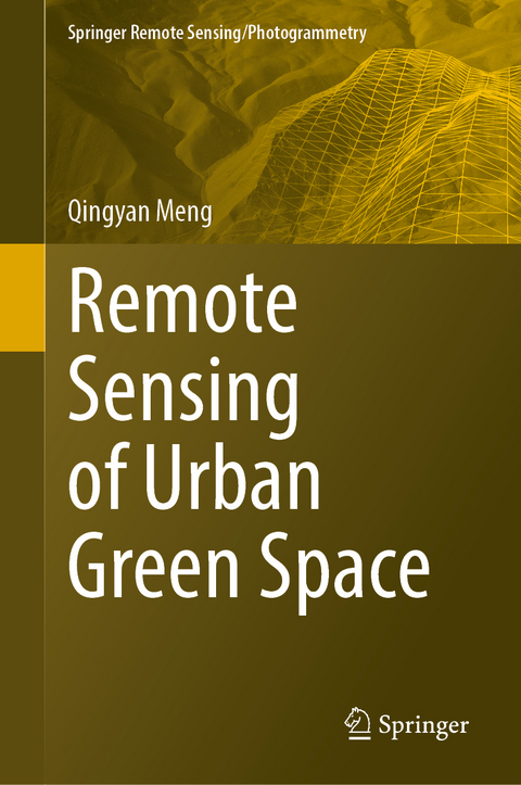
Remote Sensing of Urban Green Space
Springer Verlag, Singapore
978-981-19-5692-8 (ISBN)
- Noch nicht erschienen
- Versandkostenfrei
- Auch auf Rechnung
- Artikel merken
Dr. Meng Qingyan, Professor, Doctoral supervisor of Aerospace Information Research Institute, Chinese Academy of Sciences, Professor of University of Chinese Academy of Sciences. Once served as director-general assistant of Institute of remote sensing and digital earth, Chinese Academy of Sciences, Office Director of Demonstration Center for Spaceborne Remote Sensing, China National Space Administration, expert of Application System of China National Major Science & Technology project ‘High Resolution Earth Observation System’, member of expert committee of China National Ecological Protection Red Line Supervision Platform, Leading expert of Disaster Information Service System Planning of China Major Project ‘National Natural Disaster Space Infrastructure’, Invited Professor of China Seismic Network Center of China Earthquake Administration, member of the professional committee of space Earth Observation of China Seismological Society, Deputy Secretary General of Digital City Council of China Society for Urban Studies. Professor Meng’s research interests focus on urban land surface environment remote sensing and earthquake infrared remote sensing. He has presided over 40 national projects, such as China National Science and Technology Support Project, China National Natural Science Foundation Project, EU's Seventh Framework Project and National Major Science and Technology Special Project. He has published more than 160 academic papers, published 3 monographs, authorized and accepted 49 invention patents, and obtained 16 software copyrights and 19 awards including 4 first prize, 5 second prize, 2 Industrial Engineering Gold Award and 1 Silver Award. He has conducted international cooperation research with more than 10 countries including France, Hungary, Russia, Bulgaria, Egypt and Thailand. The Chinese book of ‘Remote Sensing of Urban Green Space’ has been awarded the only Gold Medal in the field of Urban Environmental Sciences of the 10th Qian Xuesen Urban Research, National Science and Technology Academic Works Publication Fund, and selected as the top ten Remote sensing events in China in 2020.
Introduction.- Remote Sensing Data Preprocessing Technology.- Remote Sensing Extraction Technology of Urban Vegetation Information.- Measurement Technology of Two-Dimensional Urban Green Space.- Measurement Technolog of Three-Dimensional Urban Green Space.- Construction Technology of Multi-Scale Perception Model of Urban Green Space.- Evaluation Technology of Remote Sensing in Urban Green Space.
| Erscheint lt. Verlag | 2.5.2023 |
|---|---|
| Reihe/Serie | Springer Remote Sensing/Photogrammetry |
| Zusatzinfo | Approx. 250 p. |
| Verlagsort | Singapore |
| Sprache | englisch |
| Maße | 155 x 235 mm |
| Themenwelt | Naturwissenschaften ► Geowissenschaften ► Geografie / Kartografie |
| Technik ► Umwelttechnik / Biotechnologie | |
| ISBN-10 | 981-19-5692-8 / 9811956928 |
| ISBN-13 | 978-981-19-5692-8 / 9789811956928 |
| Zustand | Neuware |
| Haben Sie eine Frage zum Produkt? |
aus dem Bereich


