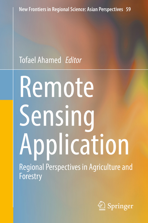
Remote Sensing Application
Springer Verlag, Singapore
978-981-19-0212-3 (ISBN)
To encompass all these above mentioned factors and classify regional variability for policy planning, satellite remote sensing and geographical information systems have the immense potential to increase agricultural and forest productivity to ensure the resilience of its sustainability. Therefore, the 13 chapters presented in this book introduce modeling techniques using the signatures of vegetation and water indices, land use and land change dynamics, climatic, and socioeconomic criteria through spatial, temporal, and statistical analysis. As well, remote sensing and in-depth GIS analysis are integrated with machine and deep learning algorithms to address natural uncertainties such as flash floods, droughts, and cyclones in agricultural production management.
Tofael Ahamed is an associate professor from University of Tsukuba, Japan and recognized as one of the best faculty members of the university. His research focuses on smart application of remote sensing and AI-IoT technology in agriculture. Dr. Ahamed leads research supported by the Japanese Society for Promotion Science, University of Tsukuba and international companies. Most of his research articles are published in Transactions of ASABE, Biosystems Engineering, Computer and Electronics in Agriculture, Sensors, Remote Sensing and Asia-Pacific Journal of Regional Science. He is also the author of several textbooks: Bioproduction Engineering for Precision Agronomics, Sustainability and Data to Knowledges for Agricultural Research Methodologies.
Chapter 1. A Review of Remote Sensing Applications in Agriculture and Forestry to Establish Big Data Analytics.- Chapter 2. Calorie-based Seasonal Multicrop Land Suitability Analysis Using GIS and Remote Sensing for Regional Food Nutrition Security in Bangladesh.- Chapter 3. Agricultural Land Suitability Assessment Using Satellite Remote Sensing-Derived Soil-Vegetation Indices.- Chapter 4. Land Suitability Assessment for Cassava Production in Indonesia Using GIS, Remote Sensing and Multi-criteria Analysis.- Chapter 5. Drought Estimation from Vegetation Phenology Analysis of Maize in Indonesia Using Deep Learning Algorithm.- Chapter 6. Land Suitability Analysis for Grapes (Vist Vinefra L.) Production Using Satellite Remote Sensing, GIS and Analytical Hierarchy Process.- Chapter 7. GIS-based MCA Modeling to Locate Suitable Industrial Sites in Suburb Areas of Bangladesh for Sustainability of Agricultural Lands,- Chapter 8. Change Detection and Land Suitability Analysis for Extensionof Potential Forest Areas in Indonesia Using Satellite Remote Sensing and GIS.- Chapter 9. Estimating productivity and carbon stock using phonological indices from satellite remote sensing in Indonesia.- Chapter 10. GEE-based Spatiotemporal Evolution of Deforestation Monitoring in Malaysia and its Drivers.- Chapter 11. Climate-Resilient Agriculture Assessment, Targeting and Prioritization for the Adaptation and Mitigation Initiative in Agriculture (AMIA) in the Cordillera Administrative Region, Philippines.- Chapter 12. A Review on Innovation of Remote Sensing Technology based on Unmanned Aerial Vehicle for Sugarcane Production in Tropical Region.- Chapter 13. Big Data Scheme from Remote Sensing Applications: Concluding Notes for Agriculture and Forestry Applications.
| Erscheinungsdatum | 12.05.2022 |
|---|---|
| Reihe/Serie | New Frontiers in Regional Science: Asian Perspectives ; 59 |
| Zusatzinfo | 1 Illustrations, black and white; XIV, 361 p. 1 illus. |
| Verlagsort | Singapore |
| Sprache | englisch |
| Maße | 155 x 235 mm |
| Themenwelt | Sozialwissenschaften ► Soziologie ► Spezielle Soziologien |
| Technik ► Elektrotechnik / Energietechnik | |
| Wirtschaft ► Volkswirtschaftslehre ► Wirtschaftspolitik | |
| Weitere Fachgebiete ► Land- / Forstwirtschaft / Fischerei | |
| Schlagworte | convolutional neural network • Forestry Planning • Geographical information • machine learning • Regional Agricultural • Satellite Remote Sensing |
| ISBN-10 | 981-19-0212-7 / 9811902127 |
| ISBN-13 | 978-981-19-0212-3 / 9789811902123 |
| Zustand | Neuware |
| Informationen gemäß Produktsicherheitsverordnung (GPSR) | |
| Haben Sie eine Frage zum Produkt? |
aus dem Bereich


