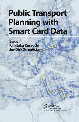
Public Transport Planning with Smart Card Data
Seiten
2021
CRC Press (Verlag)
978-0-367-78264-1 (ISBN)
CRC Press (Verlag)
978-0-367-78264-1 (ISBN)
Collecting fares through "smart cards" is becoming standard in most advanced public transport networks of major cities around the world. Travellers value their convenience and operators the reduced money handling fees. Electronic tickets also make it easier to integrate fare systems, to create complex time and space differentiated fare systems, and to provide incentives to specific target groups. A less-utilised benefit is the data collected through smart cards. Records, even if anonymous, provide for a much better understanding of passengers’ travel behaviour as current literature shows. This information can also be used for better service planning.
Public Transport Planning with Smart Card Data handles three major topics: how passenger behaviour can be estimated using smart card data, how smart card data can be combined with other trip databases, and how the public transport service level can be better evaluated if smart card data is available. The book discusses theory as well as applications from cities around the world and will be of interest to researchers and practitioners alike who are interested in the state-of-the-art as well as future perspectives that smart card data will bring.
Public Transport Planning with Smart Card Data handles three major topics: how passenger behaviour can be estimated using smart card data, how smart card data can be combined with other trip databases, and how the public transport service level can be better evaluated if smart card data is available. The book discusses theory as well as applications from cities around the world and will be of interest to researchers and practitioners alike who are interested in the state-of-the-art as well as future perspectives that smart card data will bring.
Fumitaka Kurauchi, Jan-Dirk Schmöcker
An overview of new analysis options through smart card data. Estimating passenger behavior. Transit origin-destination matrix estimation. Destination and activity estimation. Route choice estimation. Combining smart card data with other databases. Combination with personal trip data. Linking smart card data with survey data. Combination with shopping data. Using smartcard data as simulation inputs. Smart card data for evaluation. Level of service indicators and city wide impacts. Evaluating equality and fairness. Ridership prediction, Dutch example. Road project assessments. Conclusions and further practical issues.
| Erscheinungsdatum | 06.04.2021 |
|---|---|
| Verlagsort | London |
| Sprache | englisch |
| Maße | 156 x 234 mm |
| Gewicht | 548 g |
| Themenwelt | Naturwissenschaften ► Geowissenschaften ► Geografie / Kartografie |
| Sozialwissenschaften ► Politik / Verwaltung ► Staat / Verwaltung | |
| Technik ► Bauwesen | |
| Technik ► Elektrotechnik / Energietechnik | |
| Technik ► Umwelttechnik / Biotechnologie | |
| ISBN-10 | 0-367-78264-2 / 0367782642 |
| ISBN-13 | 978-0-367-78264-1 / 9780367782641 |
| Zustand | Neuware |
| Informationen gemäß Produktsicherheitsverordnung (GPSR) | |
| Haben Sie eine Frage zum Produkt? |
Mehr entdecken
aus dem Bereich
aus dem Bereich
über eine faszinierende Welt zwischen Wasser und Land und warum sie …
Buch | Hardcover (2023)
dtv (Verlag)
CHF 33,55
Eine Einführung in die spezielle Mineralogie, Petrologie und …
Buch | Hardcover (2022)
Springer Spektrum (Verlag)
CHF 83,95


