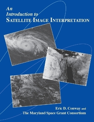
An Introduction to Satellite Image Interpretation
Seiten
1997
Johns Hopkins University Press (Verlag)
978-0-8018-5577-1 (ISBN)
Johns Hopkins University Press (Verlag)
978-0-8018-5577-1 (ISBN)
Eric D. Conway and the Maryland Space Grant Consortium present a fascinating introduction to the interpretation of satellite imagery, a technology of increasing importance for a wide variety of scientific applications. Prepared in association with the National Oceanic and Atmospheric Administration (NOAA), this extensively illustrated text and accompanying CD-ROM offer a thorough overview of the use of satellite technology in Earth and planetary science, weather forecasting, and environmental research. The book covers the foundations of remote sensing, the types of satellites, and the basics of satellite image interpretation. Other topics include geographical, oceanographical applications, and atmospheric science applications of satellite imagery. With a fully indexed glossary, this well-written and thoughtfully presented text is ideal for science teachers, undergraduate and graduate students, professionals working in the field of operational meteorology, and others interested in knowing more about interpreting satellite imagery.
The accompanying CD-ROM of satellite images enables the user to zoom in on many images (some of which appear in color), use overlays to identify important elements in the satellite image, and keep a notes file. The program requires a Macintosh, Windows, or Windows 95 operating system.
The accompanying CD-ROM of satellite images enables the user to zoom in on many images (some of which appear in color), use overlays to identify important elements in the satellite image, and keep a notes file. The program requires a Macintosh, Windows, or Windows 95 operating system.
Eric Conway teaches earth science in Carroll County, Maryland. The Maryland Space Grant Consortium aims to provide statewide and national leadership in aerospace science and engineering education research. It conducts programs, training activities, and conferences at institutions of higher learning throughout Maryland.
| Erscheint lt. Verlag | 27.5.1997 |
|---|---|
| Zusatzinfo | 211 Illustrations, black and white |
| Verlagsort | Baltimore, MD |
| Sprache | englisch |
| Maße | 216 x 279 mm |
| Gewicht | 635 g |
| Themenwelt | Naturwissenschaften ► Geowissenschaften ► Meteorologie / Klimatologie |
| Technik ► Nachrichtentechnik | |
| ISBN-10 | 0-8018-5577-2 / 0801855772 |
| ISBN-13 | 978-0-8018-5577-1 / 9780801855771 |
| Zustand | Neuware |
| Haben Sie eine Frage zum Produkt? |
Mehr entdecken
aus dem Bereich
aus dem Bereich
Grundlagen – Maßnahmen – Planungen
Buch | Hardcover (2021)
Springer Fachmedien Wiesbaden GmbH (Verlag)
CHF 209,95
Buch | Softcover (2022)
Springer Vieweg (Verlag)
CHF 53,15
das Wolkenbuch für alle
Buch | Softcover (2024)
Seifert Verlag
CHF 27,95


