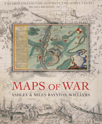
Maps of War
Seiten
2007
Quercus Publishing (Verlag)
978-1-84724-206-8 (ISBN)
Quercus Publishing (Verlag)
978-1-84724-206-8 (ISBN)
- Titel ist leider vergriffen;
keine Neuauflage - Artikel merken
A lavish collection of 150 contemporary maps of the world's great battles
Gaze across history's bloodiest battlefields, as beautifully realised by the cartographers of the time. From the depiction of the battle of Pinkie Cleugh between England and Scotland in 1547 - the earliest map printed in the British Isles - to chartings of the American War of Independence, and from plans of the advance of the British fleet at the Battle of Trafalgar to the trench maps of World War I, this unique collection highlights the extraordinary influence cartography has had on the nature of warfare. Each illustration is accompanied by an extended caption on the background to the war, including the planning and conduct of the battle in question. Whether the map was used to plan a military campaign, or drawn just after the event to record the conflict, each provides a fascinating piece of military history, and brings the drama of the battle to life. This giant book not only allows these important cartographical documents to be showcased, but also provides a captivating illustrated history of the last 500 years of warfare.
Gaze across history's bloodiest battlefields, as beautifully realised by the cartographers of the time. From the depiction of the battle of Pinkie Cleugh between England and Scotland in 1547 - the earliest map printed in the British Isles - to chartings of the American War of Independence, and from plans of the advance of the British fleet at the Battle of Trafalgar to the trench maps of World War I, this unique collection highlights the extraordinary influence cartography has had on the nature of warfare. Each illustration is accompanied by an extended caption on the background to the war, including the planning and conduct of the battle in question. Whether the map was used to plan a military campaign, or drawn just after the event to record the conflict, each provides a fascinating piece of military history, and brings the drama of the battle to life. This giant book not only allows these important cartographical documents to be showcased, but also provides a captivating illustrated history of the last 500 years of warfare.
Ashley and Miles Baynton-Williams are the third generation of their family to work in the field of antiquarian maps, having worked for dealers in England and the USA for 12 years, before starting their own gallery in 1995. In 1999, they co-founded MapForum.com, an internet and print magazine for antique map collectors.
| Erscheint lt. Verlag | 25.10.2007 |
|---|---|
| Verlagsort | London |
| Sprache | englisch |
| Maße | 350 x 430 mm |
| Themenwelt | Reisen ► Karten / Stadtpläne / Atlanten |
| Sozialwissenschaften ► Politik / Verwaltung | |
| ISBN-10 | 1-84724-206-5 / 1847242065 |
| ISBN-13 | 978-1-84724-206-8 / 9781847242068 |
| Zustand | Neuware |
| Informationen gemäß Produktsicherheitsverordnung (GPSR) | |
| Haben Sie eine Frage zum Produkt? |
Mehr entdecken
aus dem Bereich
aus dem Bereich
Buch | Hardcover (2022)
Klett (Verlag)
CHF 43,90


