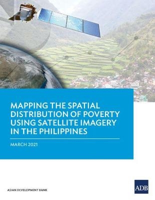
Mapping the Spatial Distribution of Poverty Using Satellite Imagery in the Philippines
Seiten
2021
Asian Development Bank (Verlag)
978-92-9262-131-5 (ISBN)
Asian Development Bank (Verlag)
978-92-9262-131-5 (ISBN)
- Titel nicht im Sortiment
- Artikel merken
Presents the results of a feasibility study on generating high-quality poverty statistics in the Philippines using satellite imagery geospatial data and powerful machine-learning algorithms.
This report presents the results of a feasibility study on generating high-quality poverty statistics in the Philippines using satellite imagery, geospatial data, and powerful machine-learning algorithms.
The Òleave no one behindÓ principle of the 2030 Agenda for Sustainable Development requires appropriate indicators for different segments of a countryÕs population. Conducted by ADB in collaboration with the Philippine Statistics Authority and the World Data Lab, the study aimed to enhance the granularity, cost-effectiveness, and compilation of high-quality poverty statistics in the Philippines.
| Erscheinungsdatum | 23.03.2021 |
|---|---|
| Verlagsort | Manila |
| Sprache | englisch |
| Maße | 216 x 280 mm |
| Gewicht | 333 g |
| Themenwelt | Naturwissenschaften ► Biologie ► Ökologie / Naturschutz |
| Sozialwissenschaften ► Soziologie ► Empirische Sozialforschung | |
| Sozialwissenschaften ► Soziologie ► Spezielle Soziologien | |
| Wirtschaft ► Volkswirtschaftslehre ► Ökonometrie | |
| ISBN-10 | 92-9262-131-9 / 9292621319 |
| ISBN-13 | 978-92-9262-131-5 / 9789292621315 |
| Zustand | Neuware |
| Haben Sie eine Frage zum Produkt? |
Mehr entdecken
aus dem Bereich
aus dem Bereich
Buch | Softcover (2024)
Springer Vieweg (Verlag)
CHF 69,95


