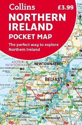
Northern Ireland Pocket Map
The Perfect Way to Explore Northern Ireland
Seiten
2022
Collins (Verlag)
978-0-00-852066-3 (ISBN)
Collins (Verlag)
978-0-00-852066-3 (ISBN)
Handy little full colour map of Northern Ireland.
Main features of this map include:
Clear mapping
Main tourist attractions located and described
Ideal for touring with sights, places to stay, cafe/restaurant, golf courses, things to do all on the map
Essential travel information
Index to places of interest and place names
Flat map measures 560 x 720 mm
Essential for those planning a trip around Northern Ireland.
Explore the world through accurate and up-to-date mapping.
| Erscheint lt. Verlag | 3.3.2022 |
|---|---|
| Verlagsort | London |
| Sprache | englisch |
| Maße | 90 x 140 mm |
| Gewicht | 40 g |
| Themenwelt | Reisen ► Karten / Stadtpläne / Atlanten ► Europa |
| Reisen ► Karten / Stadtpläne / Atlanten ► Welt / Arktis / Antarktis | |
| Schulbuch / Wörterbuch ► Lexikon / Chroniken | |
| Naturwissenschaften ► Geowissenschaften ► Geografie / Kartografie | |
| ISBN-10 | 0-00-852066-6 / 0008520666 |
| ISBN-13 | 978-0-00-852066-3 / 9780008520663 |
| Zustand | Neuware |
| Haben Sie eine Frage zum Produkt? |
Mehr entdecken
aus dem Bereich
aus dem Bereich
Karte (gefalzt) (2023)
Freytag-Berndt und ARTARIA (Verlag)
CHF 19,90
Straßen- und Freizeitkarte 1:250.000
Karte (gefalzt) (2023)
Freytag-Berndt und ARTARIA (Verlag)
CHF 19,90
Östersund
Karte (gefalzt) (2023)
Freytag-Berndt und ARTARIA (Verlag)
CHF 21,90


