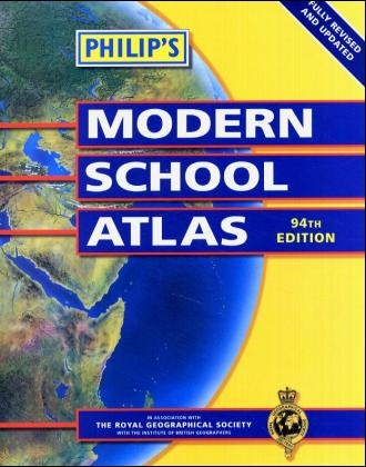
Philips Modern School Atlas 94th Edition
Seiten
2003
Philip's (Verlag)
978-0-540-08088-5 (ISBN)
Philip's (Verlag)
978-0-540-08088-5 (ISBN)
- Titel erscheint in neuer Auflage
- Artikel merken
Zu diesem Artikel existiert eine Nachauflage
Backed up by numerous charts, graphs, tables, satellite imagery and thematic maps, this school atlas provides highly detailed mapping of the world. The material has been updated for the 94th edition and is designed for use in the classroom or at home.
This classic atlas is an unbeatable combination of highly detailed physical, topographical and thematic maps on key social and economic themes, and numerous charts, tables and diagrams. It is easy-to-use and ideal for use in the classroom or at home. This is the Paperback edition. Colour-coded pages and an index with letter-figure references and latitude/longitude co-ordinates make the atlas easy to use. 32 pages cover the British Isles, with the most accurate thematic and physical mapping available at the chosen scales. A special section explains how satellite imagery and remote sensing are used to monitor and interpret global, environmental and urban patterns of change. 72 pages of World topographical maps, 32 pages of World thematic maps and a World statistics section provide plenty of opportunities for students to practise their map skills.
This classic atlas is an unbeatable combination of highly detailed physical, topographical and thematic maps on key social and economic themes, and numerous charts, tables and diagrams. It is easy-to-use and ideal for use in the classroom or at home. This is the Paperback edition. Colour-coded pages and an index with letter-figure references and latitude/longitude co-ordinates make the atlas easy to use. 32 pages cover the British Isles, with the most accurate thematic and physical mapping available at the chosen scales. A special section explains how satellite imagery and remote sensing are used to monitor and interpret global, environmental and urban patterns of change. 72 pages of World topographical maps, 32 pages of World thematic maps and a World statistics section provide plenty of opportunities for students to practise their map skills.
Remote SensingBritish IslesThe WorldWorld ThemesIndex
| Erscheint lt. Verlag | 11.4.2003 |
|---|---|
| Zusatzinfo | colour maps, colour illustrations, charts, graphs, tables |
| Verlagsort | London |
| Sprache | englisch |
| Maße | 227 x 286 mm |
| Gewicht | 730 g |
| Themenwelt | Schulbuch / Wörterbuch ► Schulbuch / Allgemeinbildende Schulen |
| ISBN-10 | 0-540-08088-8 / 0540080888 |
| ISBN-13 | 978-0-540-08088-5 / 9780540080885 |
| Zustand | Neuware |
| Haben Sie eine Frage zum Produkt? |
Mehr entdecken
aus dem Bereich
aus dem Bereich
Kinderreime, Gedichte und Geschichten für Kinder zum Nachsprechen, …
Buch | Softcover (2024)
WBV Media (Verlag)
CHF 17,90
Buch | Softcover (2024)
Europa-Lehrmittel (Verlag)
CHF 35,95


