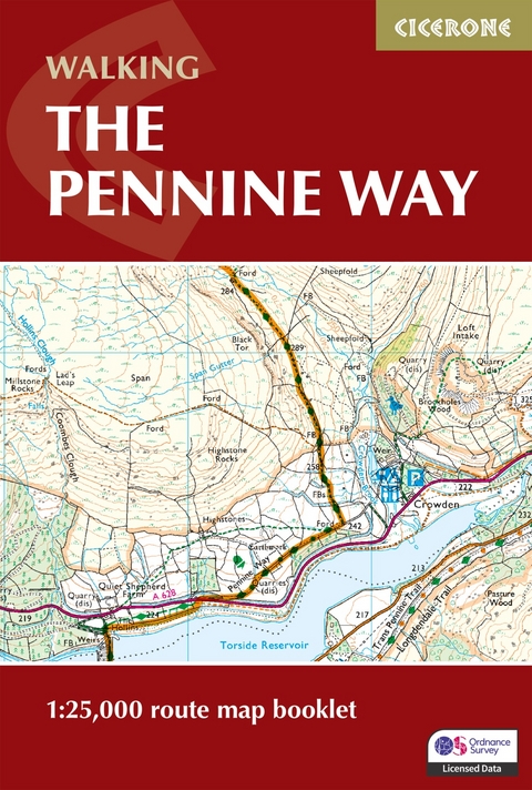
Walking the Pennine Way Map Booklet
1:25,000 OS Route Mapping
Seiten
2025
|
2nd Revised edition
Cicerone Press (Verlag)
978-1-78631-141-2 (ISBN)
Cicerone Press (Verlag)
978-1-78631-141-2 (ISBN)
- Noch nicht erschienen (ca. März 2025)
- Portofrei ab CHF 40
- Auch auf Rechnung
- Artikel merken
Map of the 265 mile (426km) Pennine Way National Trail, between Edale in the Peak District and Kirk Yetholm in the Scottish Borders. This booklet is included with the Cicerone guidebook to the trail, and shows the full route on OS 1:25,000 maps. This popular long-distance route typically takes three weeks to complete.
A booklet of all the mapping needed to complete the Pennine Way, England’s toughest National Trail. Suited to fit experienced walkers, the 426km (265 mile) route from Edale to Kirk Yetholm follows northern England’s mountainous spine, passing through three national parks: the Peak District, the Yorkshire Dales and Northumberland.
The full route line is shown on 1:25,000 OS maps
The map booklet can be used to walk the trail in either direction
Sized to easily fit in a jacket pocket
The relevant extract from the OS Explorer map legend is included
An accompanying Cicerone guidebook – The Pennine Way is also available, which includes a copy of this map booklet
Paddy Dillon is a prolific walker and guidebook writer, with over 100 guidebooks to his name and contributions to 40 other titles. He has written for several outdoor magazines and other publications and has appeared on radio and television. Paddy uses a tablet computer to write as he walks. His descriptions are therefore precise, having been written at the very point at which the reader uses them. Paddy is an indefatigable long-distance walker who has walked all of Britain's National Trails and several European trails. He has also walked in Nepal, Tibet, Korea and the Rocky Mountains of Canada and the US.
| Erscheint lt. Verlag | 15.3.2025 |
|---|---|
| Reihe/Serie | Cicerone guidebooks |
| Verlagsort | Kendal |
| Sprache | englisch |
| Maße | 116 x 172 mm |
| Themenwelt | Sachbuch/Ratgeber ► Sport |
| Reisen ► Karten / Stadtpläne / Atlanten ► Europa | |
| Reiseführer ► Europa ► Großbritannien | |
| Reisen ► Sport- / Aktivreisen ► Europa | |
| ISBN-10 | 1-78631-141-0 / 1786311410 |
| ISBN-13 | 978-1-78631-141-2 / 9781786311412 |
| Zustand | Neuware |
| Informationen gemäß Produktsicherheitsverordnung (GPSR) | |
| Haben Sie eine Frage zum Produkt? |
Mehr entdecken
aus dem Bereich
aus dem Bereich
Geschichten, Geheimnisse und anderes cooles Zeug
Buch | Softcover (2024)
MAIRDUMONT (Verlag)
CHF 25,90
individuell reisen mit vielen praktischen Tipps
Buch | Softcover (2024)
Michael Müller (Verlag)
CHF 43,90


