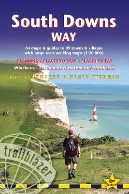
South Downs Way Trailblazer Walking Guide 8e
Practical guide with 60 Large-Scale Walking Maps (1:20,000) & Guides to 49 Towns & Villages - Planning, Places To Stay, Places to Eat
Seiten
2024
|
8th Revised edition
Trailblazer Publications (Verlag)
978-1-912716-47-0 (ISBN)
Trailblazer Publications (Verlag)
978-1-912716-47-0 (ISBN)
Practical, complete guide to walking the South Downs Way, a 100-mile National Trail footpath which follows the line of chalk hills stretching from Winchester to Eastbourne in southern England.
All the information you need to walk the South Downs Way.
Trailblazer's guide to South Downs Way shows the route in both directions from Winchester to Eastbourne and from Eastbourne to Winchester.
This handy, pocket size South Downs Way guide includes:
82 Maps in two-colour style - 60 large-scale walking maps - 1:20,000 (3-1/8 inches to 1 mile), 11 town plans, 10 stage maps with trail profiles showing hills and descents, and 2 overview maps
Detailed accommodation with reviews - B&Bs, campsites, pubs, hotels, bunkhouses
Where to eat with reviews - cafes, teashops, pubs, takeaways and restaurants
Comprehensive public transport information - with frequency of services for all access points on the Path
Downloadable GPS waypoints
Itineraries for all walkers - whether hiking the entire route or sampling highlights on day walks, weekends or short breaks
Unique mapping features - walking times, directions, tricky junctions, places to stay, places to eat, points of interest written onto the maps
Flora and fauna - four page full colour flower guide, plus an illustrated section on local wildlife
Green hiking - understanding the local environment and minimizing our impact on it
| Erscheinungsdatum | 21.03.2024 |
|---|---|
| Verlagsort | Hindhead, Surrey |
| Sprache | englisch |
| Maße | 120 x 180 mm |
| Gewicht | 210 g |
| Themenwelt | Sachbuch/Ratgeber ► Sport |
| Reiseführer ► Europa ► Großbritannien | |
| ISBN-10 | 1-912716-47-X / 191271647X |
| ISBN-13 | 978-1-912716-47-0 / 9781912716470 |
| Zustand | Neuware |
| Haben Sie eine Frage zum Produkt? |
Mehr entdecken
aus dem Bereich
aus dem Bereich
individuell reisen mit vielen praktischen Tipps
Buch | Softcover (2024)
Michael Müller (Verlag)
CHF 43,90
Reiseführer mit Stadtplan, 4 Spaziergängen und kostenloser Web-App
Buch | Softcover (2023)
Reise Know-How (Verlag)
CHF 22,90


