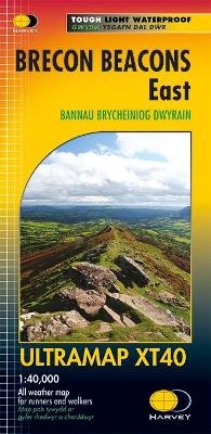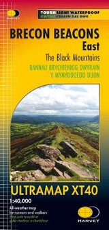
Brecon Beacons East
Seiten
2017
Harvey Map Services Ltd (Verlag)
978-1-85137-600-1 (ISBN)
Harvey Map Services Ltd (Verlag)
978-1-85137-600-1 (ISBN)
- Titel erscheint in neuer Auflage
- Artikel merken
Zu diesem Artikel existiert eine Nachauflage
Brecon Beacons East Covers a large area yet is handily compact. Pocket perfect!Detailed map for runners and walkers of the eastern part of the Brecon Beacons National Park and the Black Mountains at the magic scale of 1:40,000.Includes Pen y Fan and the Black Mountains.Welsh-English text.Fully detailed genuine HARVEY mappingIncludes Rights of WayUse without a map case: tough and 100% waterproofOpens directly to either side of the sheet
| Erscheint lt. Verlag | 27.4.2017 |
|---|---|
| Reihe/Serie | Ultramap |
| Verlagsort | Perthshire |
| Sprache | englisch |
| Maße | 73 x 152 mm |
| Gewicht | 24 g |
| Themenwelt | Sachbuch/Ratgeber ► Sport |
| Reisen ► Karten / Stadtpläne / Atlanten ► Europa | |
| ISBN-10 | 1-85137-600-3 / 1851376003 |
| ISBN-13 | 978-1-85137-600-1 / 9781851376001 |
| Zustand | Neuware |
| Haben Sie eine Frage zum Produkt? |
Mehr entdecken
aus dem Bereich
aus dem Bereich
Straßen- und Freizeitkarte 1:250.000
Karte (gefalzt) (2023)
Freytag-Berndt und ARTARIA (Verlag)
CHF 19,90
Karte (gefalzt) (2023)
Freytag-Berndt und ARTARIA (Verlag)
CHF 19,90
Östersund
Karte (gefalzt) (2023)
Freytag-Berndt und ARTARIA (Verlag)
CHF 21,90


