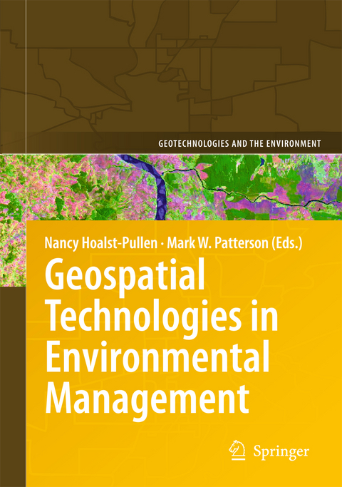
Geospatial Technologies in Environmental Management
Wilderness and Wildlife Response.- Geotechnologies in Environmental Management.- Modeling Post-Eruption Habitat Changes for Deer at Mount St. Helens using Remote Sensing and GIS.- Pyrogeography: Mapping and Understanding the Spatial Patterns of Wildfire.- Assisting Natural Resource Management in Mammoth Cave National Park Using Geospatial Technology.- Glaciers.- Geospatial Techniques to Assess High Mountain Hazards: A Case Study on California Rock Glacier and an Application for Management in the Andes.- Glacier Inventory: A Case in Semiarid Chile.- Wetlands and Watersheds.- Employing a Geographic Information System for Wetlands Management in Nebraska’s Rainwater Basin.- The Effects of Land Cover Change: Increasing Watershed Imperviousness in Kentucky.- Exploring the Spatially Varying Impact of Urbanization on Water Quality in Eastern Massachusetts Using Geographically Weighted Regression.- Human Health and the Environment.- Application of GIS in Evaluating the Potential Impacts of Land Application of Biosolids on Human Health.- Remote Sensing, Public Health & Disaster Mitigation.
| Erscheint lt. Verlag | 30.9.2010 |
|---|---|
| Reihe/Serie | Geotechnologies and the Environment ; 3 |
| Zusatzinfo | XIV, 214 p. |
| Verlagsort | Dordrecht |
| Sprache | englisch |
| Maße | 155 x 235 mm |
| Themenwelt | Sachbuch/Ratgeber ► Natur / Technik ► Natur / Ökologie |
| Naturwissenschaften ► Biologie ► Ökologie / Naturschutz | |
| Naturwissenschaften ► Geowissenschaften ► Geografie / Kartografie | |
| Naturwissenschaften ► Geowissenschaften ► Geophysik | |
| Technik ► Umwelttechnik / Biotechnologie | |
| ISBN-10 | 90-481-9524-1 / 9048195241 |
| ISBN-13 | 978-90-481-9524-4 / 9789048195244 |
| Zustand | Neuware |
| Haben Sie eine Frage zum Produkt? |
aus dem Bereich


