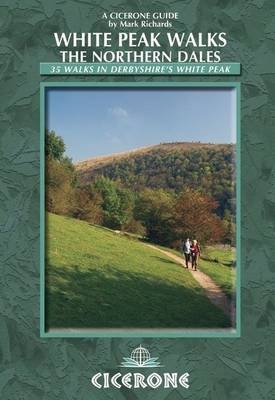
White Peak Walks: The Northern Dales
Cicerone Press (Verlag)
978-1-85284-517-9 (ISBN)
- Titel ist leider vergriffen;
keine Neuauflage - Artikel merken
A guide to walking in northern dales of the White Peak area of the Peak District National Park between Edale, Matlock and Buxton. 35 walks are included in this guide, between 3 and 9 miles long, illustrated with OS map extracts. From Castleton and Winnats Pass gorge, down to Lathkill Dale and Matlock Spa, the northern section of the White Peak offers variety and beauty and is waiting to be explored.
The White Peak is the name given to the rocky southern area of the Peak District, for its pale underlying limestone. The result is a landscape of escarpments, heather moorlands, wooded valleys and the roll of hillsides and plateaux. Idyllic villages dot the walks with pubs standing by for refreshing walkers after a good walk.
Writer and broadcaster Mark Richards is the author of Cicerone's new 8-volume Lakeland Fellranger series and of the best-selling 'Great Mountain Days in the Lake District'. His first series of guides to the Peak District was published in the 1980s and has been in print ever since.
Preface
Introduction
Bronze Age to barn conversions
From protests to the Park Authority
Walking in the White Peak
The Northern Dales
What to take
Local services and transport
Using this guide
Walk 1 Eldon Hole and Oxlow Rake
Walk 2 Four Caverns Trail
Walk 3 Lose Hill, Castleton and Navio Roman Fort
Walk 4 Bradwell Moor
Walk 5 Bradwell Edge, Abney and Bretton
Walk 6 Eyam Moor and Offerton Moor
Walk 7 Eyam Edge and Foolow
Walk 8 Deep Rake, Coombs Dale and the Derwent
Walk 9 Grinlow and Axe Edge
Walk 10 Woo Dale, King Sterndale and Thurst House Cave
Walk 11 Chee Dale and Blackwell
Walk 12 Churn Hole, Chelmorton and Deep Dale
Walk 13 Hay Dale
Walk 14 Monsal Trail, Chee Dale, Wormhill and Monk's Dale
Walk 15 Litton Mill, Monsal Trail, Limestone Way and Tideswell
Walk 16 Cressbrook Dale
Walk 17 Monsal Trail, Water-cum-Jolly and Brushfield
Walk 18 Brushfield Hough, Priestcliffe and Taddington
Walk 19 Deep Dale, Magpie Mine and Shacklow Wood
Walk 20 Monsal Head, Monsal Dale and Shacklow Wood
Walk 21 Calton Pastures, Coombs valley and the Monsal Trail
Walk 22 Chatsworth Park, Edensor and Rowsley
Walk 23 Taddington and Flagg
Walk 24 High Peak Trail and Flagg
Walk 25 Lathkill Head and One Ash Grange, with Arbor Low
Walk 26 Calling Low, Cales Dale, Lathkill Dale and Meadow Place Grange
Walk 27 Lower Lathkill Dale and Bradford Dale
Walk 28 Kenslow Knoll
Walk 29 Bradford Dale and Harthill Moor
Walk 30 Gratton Dale, Smerill Grange and Long Dale
Walk 31 Stanton Moor and Rowtor Rocks
Walk 32 Bonsall Moor
Walk 33 High Tor and the Heights of Abraham
Walk 34 Masson Hill
Walk 35 Black Rocks and Cromford
Appendix 1 Route summary table
Appendix 2 Recommended reading
Appendix 3 Useful contacts
| Erscheint lt. Verlag | 2.6.2017 |
|---|---|
| Zusatzinfo | 35 OS map extracts and over 100 colour photographs |
| Verlagsort | Kendal |
| Sprache | englisch |
| Maße | 116 x 172 mm |
| Gewicht | 250 g |
| Themenwelt | Sachbuch/Ratgeber ► Sport |
| Reiseführer ► Europa ► Großbritannien | |
| ISBN-10 | 1-85284-517-1 / 1852845171 |
| ISBN-13 | 978-1-85284-517-9 / 9781852845179 |
| Zustand | Neuware |
| Haben Sie eine Frage zum Produkt? |
aus dem Bereich


