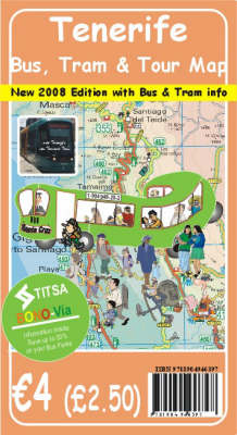
Tenerife Bus, Tram and Tour Map
Seiten
2008
Discovery Walking Guides Ltd (Verlag)
978-1-904946-39-7 (ISBN)
Discovery Walking Guides Ltd (Verlag)
978-1-904946-39-7 (ISBN)
- Titel ist leider vergriffen;
keine Neuauflage - Artikel merken
With timetables and street plans, this title includes the Santa Cruz to La Laguna Tram. It also includes the Titsa Bus Timetable information, how to use the 'Bono-Via' tickets to reduce the already low fares by up to 50 per cent, Transvia Tram information - a 'must ride' experience, and a road map of the island.
This is the new 2008 edition of "Tenerife Bus, Tram and Tour Map" with updated timetables, street plans and including the world's newest 'train' - the Santa Cruz to La Laguna Tram. It includes the latest Titsa Bus Timetable information, how to use the 'Bono-Via' tickets to reduce the already low fares by up to 50 per cent, new Transvia Tram information - a 'must ride' experience, and updated street plans along with the best road map of the island - all of this for just 2.50, its the bargain of Tenerife.
This is the new 2008 edition of "Tenerife Bus, Tram and Tour Map" with updated timetables, street plans and including the world's newest 'train' - the Santa Cruz to La Laguna Tram. It includes the latest Titsa Bus Timetable information, how to use the 'Bono-Via' tickets to reduce the already low fares by up to 50 per cent, new Transvia Tram information - a 'must ride' experience, and updated street plans along with the best road map of the island - all of this for just 2.50, its the bargain of Tenerife.
1:100,000 scale topographical map of TenerifeLarge scale Street Plans of Las Americas/Los Cristianos, Costa del Silencio, Golf del Sur/Amarilla Golf, Los Gigantes/Puerto Santiago, Puerto de la Cruz, and Santa Cruz.Timetable information for Titsa 'inter-urban' bus services.Guide to using the 'Bono-Via' discount tickets on buses and trams.
| Erscheint lt. Verlag | 1.1.2008 |
|---|---|
| Illustrationen | David Brawn |
| Zusatzinfo | Tenerife topographical map + large scale street plans |
| Verlagsort | Northampton |
| Sprache | englisch |
| Maße | 120 x 220 mm |
| Themenwelt | Reisen ► Karten / Stadtpläne / Atlanten ► Europa |
| Reisen ► Karten / Stadtpläne / Atlanten ► Welt / Arktis / Antarktis | |
| ISBN-10 | 1-904946-39-9 / 1904946399 |
| ISBN-13 | 978-1-904946-39-7 / 9781904946397 |
| Zustand | Neuware |
| Haben Sie eine Frage zum Produkt? |
Mehr entdecken
aus dem Bereich
aus dem Bereich
Straßen- und Freizeitkarte 1:250.000
Karte (gefalzt) (2023)
Freytag-Berndt und ARTARIA (Verlag)
CHF 19,90
Karte (gefalzt) (2023)
Freytag-Berndt und ARTARIA (Verlag)
CHF 19,90
Östersund
Karte (gefalzt) (2023)
Freytag-Berndt und ARTARIA (Verlag)
CHF 21,90


