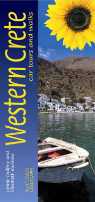
Western Crete
Car Tours and Walks
Seiten
2008
|
6th Revised edition
Sunflower Books (Verlag)
978-1-85691-335-5 (ISBN)
Sunflower Books (Verlag)
978-1-85691-335-5 (ISBN)
- Titel erscheint in neuer Auflage
- Artikel merken
Zu diesem Artikel existiert eine Nachauflage
Pocket-sized full-colour guide describing car tours, walks and countryside picnics. Large-scale topographical walking maps (scale 1:50,000), fold-out touring map. Timetables for local transport. Unique free on-line update service with specific route change information. Series (50 destinations) dubbed 'the blue Bibles' by the Sunday Times.
Pocket-sized and in full colour, this guide describes eight car tours in western Crete, highlighting places where you can stop for a walk or just a stroll to a lovely picnic setting. There are accompanying fold-out touring maps covering the whole of the island.But the major part of the book is devoted to 31 main walks and their many variations, all illustrated with large-scale topographical maps (1:50,000). Mountains rearing straight up from the sea, deep wooded gorges, ravines and valleys and yet more glorious mountains, standing proud and acting as a magnet to the eye and the imagination - that's western Crete, or real Crete, as some would say.Its strong, dramatic scenery and colours create sweeping landscapes of this harsh but beautiful countryside that has been the backdrop for heroic deeds, ancient civilisations and constant intrigue for thousands of years, and the home of obdurate, tough people made so by their labours on the land and their experiences. Western Crete is real hikers' territory, and this book, the first-ever walking guide to Crete, in print for decades, describes all the best routes.
Also included are plans of Hania and Rethimnon and bus timetables (most of the walks are accessible by bus). A unique on-line update service keeps readers abreast of all route changes since publication, and GPS tracks can be downloaded for many of the walking routes.
| Erscheint lt. Verlag | 15.4.2008 |
|---|---|
| Reihe/Serie | Landscapes |
| Zusatzinfo | col. Illustrations, col. maps |
| Verlagsort | London |
| Sprache | englisch |
| Maße | 100 x 210 mm |
| Themenwelt | Reisen ► Karten / Stadtpläne / Atlanten ► Europa |
| ISBN-10 | 1-85691-335-X / 185691335X |
| ISBN-13 | 978-1-85691-335-5 / 9781856913355 |
| Zustand | Neuware |
| Haben Sie eine Frage zum Produkt? |


