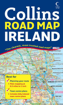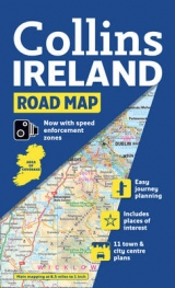
Ireland Road Map
2008
|
New edition
Collins (Verlag)
978-0-00-725671-6 (ISBN)
Collins (Verlag)
978-0-00-725671-6 (ISBN)
- Titel erscheint in neuer Auflage
- Artikel merken
Zu diesem Artikel existiert eine Nachauflage
Scale: 6.5 miles to 1 inch 1:412,000.
Full colour general purpose map. It has layer colouring to show land height, places of tourist interest and a selection of town and city centre maps complete with their indexes.
MAIN FEATURES
This map features the whole of Ireland on one side of the sheet with index and town centre plans on the reverse. The map has a high level of detail and superb clarity.
INCLUDES
• All motorways, classified roads and many minor roads
• Places of tourist interest shown
• Distances between major settlements shown in both miles and kilometres
• Distance chart in both miles and km
• Street maps of Bangor, Belfast, Cork, Drogheda, Dublin, Dun Laoghaire, Galway, Killarney, Limerick, Londonderry and Waterford complete with indexes
AREA OF COVERAGE
Includes the whole of Ireland.
WHO THE PRODUCT IS OF INTEREST TO
An essential purchase for anyone motoring around Ireland.
| Erscheint lt. Verlag | 7.1.2008 |
|---|---|
| Zusatzinfo | Index |
| Verlagsort | London |
| Sprache | englisch |
| Maße | 139 x 237 mm |
| Gewicht | 126 g |
| Themenwelt | Reisen ► Karten / Stadtpläne / Atlanten ► Europa |
| ISBN-10 | 0-00-725671-X / 000725671X |
| ISBN-13 | 978-0-00-725671-6 / 9780007256716 |
| Zustand | Neuware |
| Haben Sie eine Frage zum Produkt? |
Mehr entdecken
aus dem Bereich
aus dem Bereich
Straßen- und Freizeitkarte 1:250.000
Karte (gefalzt) (2023)
Freytag-Berndt und ARTARIA (Verlag)
CHF 19,90
Karte (gefalzt) (2023)
Freytag-Berndt und ARTARIA (Verlag)
CHF 19,90
Östersund
Karte (gefalzt) (2023)
Freytag-Berndt und ARTARIA (Verlag)
CHF 21,90


