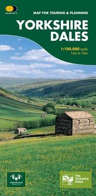
Yorkshire Dales
Map for Touring and Planning
Seiten
2007
|
2nd Revised edition
Harvey Map Services Ltd (Verlag)
978-1-85137-433-5 (ISBN)
Harvey Map Services Ltd (Verlag)
978-1-85137-433-5 (ISBN)
This map provides a colourful overview of the Dales - famous Swaledale, Wensleydale, Wharfedale & Nidderdale. Colour shading makes it easy to pick out the hills & dales. Driveable roads are shown & steep hills marked. There is an introduction to each area, street plans of towns & lots of information on places to visit.
| Erscheint lt. Verlag | 30.6.2007 |
|---|---|
| Zusatzinfo | 10 illustrations |
| Verlagsort | Perthshire |
| Sprache | englisch |
| Maße | 972 x 700 mm |
| Themenwelt | Reisen ► Karten / Stadtpläne / Atlanten ► Europa |
| Reisen ► Karten / Stadtpläne / Atlanten ► Welt / Arktis / Antarktis | |
| ISBN-10 | 1-85137-433-7 / 1851374337 |
| ISBN-13 | 978-1-85137-433-5 / 9781851374335 |
| Zustand | Neuware |
| Informationen gemäß Produktsicherheitsverordnung (GPSR) | |
| Haben Sie eine Frage zum Produkt? |
Mehr entdecken
aus dem Bereich
aus dem Bereich
Straßen- und Freizeitkarte 1:250.000
Karte (gefalzt) (2023)
Freytag-Berndt und ARTARIA (Verlag)
CHF 19,90
Baskenland, Navarra, Aragon, Andorra, Katalonien
Karte/Kartografie (2023)
MAIRDUMONT (Verlag)
CHF 18,90
Karte (gefalzt) (2023)
Freytag-Berndt und ARTARIA (Verlag)
CHF 19,90


