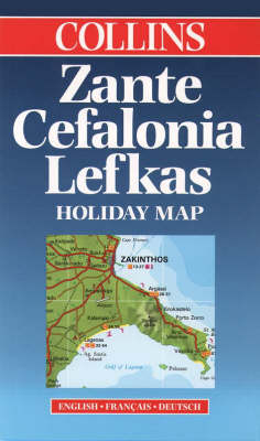
Zante, Cefalonia and Lefkas
1999
|
New edition
Collins (Verlag)
978-0-00-448877-6 (ISBN)
Collins (Verlag)
978-0-00-448877-6 (ISBN)
- Titel ist leider vergriffen;
keine Neuauflage - Artikel merken
Reformatted and revised edition of map covering the Ionian Islands, and under Collins imprint for the first time. SCALE 1: 165 000 1cm to 1.7 km 1 inch to 2.6 miles
MAIN FEATURES
Road map of the popular Greek holiday islands of Zante, Cefalonia and Lefkas with tourist information. Indexes to places of interest and hotels.
AREA OF COVERAGE
Islands of Zante, Cefalonia and Lefkas, and the smaller island of Ithaca.
WHO THE PRODUCT IS AIMED AT
Tourist and package holiday maker
OTHER PRODUCTS IN THE SERIES
Crete
Corfu
Cyprus
Rhodes
Plus a range of maps covering most popular holiday destinations
| Erscheint lt. Verlag | 1.2.1999 |
|---|---|
| Reihe/Serie | Holiday Map |
| Zusatzinfo | index |
| Verlagsort | London |
| Sprache | englisch |
| Maße | 890 x 625 mm |
| Gewicht | 69 g |
| Themenwelt | Reisen ► Karten / Stadtpläne / Atlanten ► Europa |
| ISBN-10 | 0-00-448877-6 / 0004488776 |
| ISBN-13 | 978-0-00-448877-6 / 9780004488776 |
| Zustand | Neuware |
| Haben Sie eine Frage zum Produkt? |
Mehr entdecken
aus dem Bereich
aus dem Bereich
Straßen- und Freizeitkarte 1:250.000
Karte (gefalzt) (2023)
Freytag-Berndt und ARTARIA (Verlag)
CHF 19,90
Karte (gefalzt) (2023)
Freytag-Berndt und ARTARIA (Verlag)
CHF 19,90
Östersund
Karte (gefalzt) (2023)
Freytag-Berndt und ARTARIA (Verlag)
CHF 21,90


