Florence
Destination City Maps
Seiten
2012
|
2014th ed.
National Geographic Maps (Verlag)
978-1-59775-093-6 (ISBN)
National Geographic Maps (Verlag)
978-1-59775-093-6 (ISBN)
- Titel ist leider vergriffen;
keine Neuauflage - Artikel merken
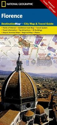
CityDestinationMaps blend urban guidebook information with easy to read street maps, complete with 3D buildings. The maps are printed on waterproof, tear-resistant material that's lightweight yet very durable - idea for travel. This Florence map is double-sided with beautiful photos and detailed travel information, including local information and natural, historical and cultural places of interest, as well as a regional map; an airport diagram, an inset map of Centro Storico and a multi-language legend.
| Erscheint lt. Verlag | 2.8.2012 |
|---|---|
| Verlagsort | Evergreen |
| Sprache | englisch |
| Maße | 105 x 225 mm |
| Gewicht | 42 g |
| Einbandart | gefalzt |
| Themenwelt | Reisen ► Karten / Stadtpläne / Atlanten ► Europa |
| Reisen ► Karten / Stadtpläne / Atlanten ► Asien | |
| ISBN-10 | 1-59775-093-X / 159775093X |
| ISBN-13 | 978-1-59775-093-6 / 9781597750936 |
| Zustand | Neuware |
| Haben Sie eine Frage zum Produkt? |
Mehr entdecken
aus dem Bereich
aus dem Bereich
Karte (gefalzt) (2023)
Freytag-Berndt und ARTARIA (Verlag)
CHF 19,90
Straßen- und Freizeitkarte 1:250.000
Karte (gefalzt) (2023)
Freytag-Berndt und ARTARIA (Verlag)
CHF 19,90
Östersund
Karte (gefalzt) (2023)
Freytag-Berndt und ARTARIA (Verlag)
CHF 21,90


