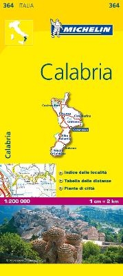
Calabria - Michelin Local Map 364
Map
Seiten
2008
|
6th edition
Michelin Editions des Voyages (Verlag)
978-2-06-712673-2 (ISBN)
Michelin Editions des Voyages (Verlag)
978-2-06-712673-2 (ISBN)
Zu diesem Artikel existiert eine Nachauflage
Michelin local maps are on a scale of 1:150,000 up 1:220,000 with easy to read mapping using satellite images. With additional tourist information, these maps are ideal for planning your visit. Series for France and Italy.
(Edition updated in 2017) The MICHELIN Calabria local map, scale 1/200,000 is the ideal companion to fully explore this Italian region and provides star-rated Michelin tourist itineraries and attractions, as well as impressive 3D relief mapping. MICHELIN local maps are perfect for cyclists and outdoor enthusiasts with over 20 leisure symbols, extensive coverage of cycling paths and nature trails. With MICHELIN local maps, find more than just your way!
MICHELIN LOCAL MAPS provide detailed coverage of Italy are perfect for fully exploring these countries and are also ideal for cyclists.
* Impressive & realistic 3D relief mapping
* Michelin selected itineraries and must-sees of the area
* A clear and comprehensive key with 20 leisure symbols, as well as cycling paths and nature trails.
* Star rated tourist sights and attractions cross-referenced with the famous MICHELIN Green Guides.
* Plans of main cities and a comprehensive place name index
| Verlagsort | Paris |
|---|---|
| Sprache | englisch |
| Maße | 113 x 250 mm |
| Gewicht | 118 g |
| Themenwelt | Reisen ► Karten / Stadtpläne / Atlanten ► Europa |
| ISBN-10 | 2-06-712673-3 / 2067126733 |
| ISBN-13 | 978-2-06-712673-2 / 9782067126732 |
| Zustand | Neuware |
| Haben Sie eine Frage zum Produkt? |
Mehr entdecken
aus dem Bereich
aus dem Bereich
Straßen- und Freizeitkarte 1:250.000
Karte (gefalzt) (2023)
Freytag-Berndt und ARTARIA (Verlag)
CHF 19,90
Karte (gefalzt) (2023)
Freytag-Berndt und ARTARIA (Verlag)
CHF 19,90
Östersund
Karte (gefalzt) (2023)
Freytag-Berndt und ARTARIA (Verlag)
CHF 21,90


