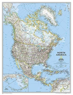
North America Classic, Enlarged &, Laminated
Wall Maps Continents
Seiten
2012
|
2021st Student ed.
National Geographic Maps (Verlag)
978-0-7922-5018-0 (ISBN)
National Geographic Maps (Verlag)
978-0-7922-5018-0 (ISBN)
National Geographic Wall Maps offer a special glimpse into current and historical events, and they inform about the world and environment. Offered in a variety of styles and formats, these maps are excellent reference tools and a perfect addition to any home, business or school. There are a variety of map options to choose from, including the world, continents, countries and regions, the United States, history, nature and space.
| Erscheint lt. Verlag | 2.8.2012 |
|---|---|
| Verlagsort | Evergreen |
| Sprache | englisch |
| Maße | 56 x 940 mm |
| Gewicht | 338 g |
| Themenwelt | Reisen ► Karten / Stadtpläne / Atlanten ► Nord- / Mittelamerika |
| Reisen ► Karten / Stadtpläne / Atlanten ► Welt / Arktis / Antarktis | |
| ISBN-10 | 0-7922-5018-4 / 0792250184 |
| ISBN-13 | 978-0-7922-5018-0 / 9780792250180 |
| Zustand | Neuware |
| Informationen gemäß Produktsicherheitsverordnung (GPSR) | |
| Haben Sie eine Frage zum Produkt? |
Mehr entdecken
aus dem Bereich
aus dem Bereich
Karte (gefalzt) (2024)
Freytag-Berndt und ARTARIA (Verlag)
CHF 18,95
Manhattan (Upper), Manhattan (Lower & Midtown), Financial
Karte (gefalzt) (2020)
Borch (Verlag)
CHF 13,90
Karte (gefalzt) (2022)
Freytag-Berndt und ARTARIA (Verlag)
CHF 21,90


