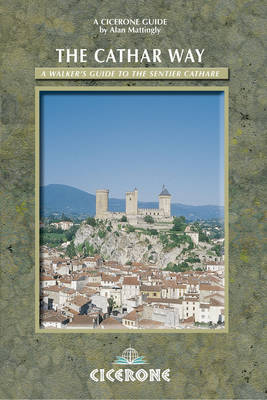
The Cathar Way
Cicerone Press (Verlag)
978-1-85284-486-8 (ISBN)
- Titel ist leider vergriffen;
keine Neuauflage - Artikel merken
A guidebook to walking the Cathar Way, a waymarked trail through France's southwest, linking historic castles. This 250km (two-week) route runs through the foothills of the Pyrenees in the Languedoc region of southern France, from the Mediterranean to Foix. A challenging, fascinating and rewarding route, but not an arduous mountain trek. The trail runs from the Mediterranean coast westward to the historic town of Foix. It can be walked in two weeks or less by anyone who is well-equipped and moderately fit. Good-quality accommodation is available at regular intervals along the entire length of the trail. The trail traverses the dramatic foothills of the Pyrenees mountains, a beautiful countryside which enjoys plenty of sunshine and is rich in wildlife. The highlights of the Cathar Way are the 'castles in the sky' like Quéribus, Peyrepertuse and Montségur. These incredible medieval fortifications will forever be associated with the ill-fated Cathar 'heresy', which was brutally suppressed in the thirteenth century.
Alan Mattingly was director of the Ramblers' Association from 1974 to 1998. He has also held various other posts in the outdoor field, including that of chairman of the Council for National Parks. He is now based in a small town in the eastern Pyrenees which lies just below the 9,000ft Pic du Canigou. When not exploring the Pyrenees on foot, Alan writes and also teaches English. He is author of Walks in the Cathar Region published by Cicerone.
Route Map Key
Location Map
Map of Stages and Cathar Castles En Route
Map of Administrative Departments
INTRODUCTION
The Sentier Cathare, 'the most celebrated footpath in France'
The Cathars
Cathar History
Cathar Castles
The Cathar Region
The Sentier Cathare, Port-la-Nouvelle to Foix
Origin and Character of the Trail
Waymarking and Route-finding
Changes to the Route
Castles and Other Features of Interest
Getting There
Getting Around
Accommodation
How to Use This Guide
Planning a Trek Along the Cathar Way
Route Summary
Stocking Up
Maps
Weather
Equipment and Water
Risks
| Erscheint lt. Verlag | 12.6.2012 |
|---|---|
| Zusatzinfo | 85 colour photos and 14 colour maps |
| Verlagsort | Kendal |
| Sprache | englisch |
| Maße | 116 x 172 mm |
| Gewicht | 230 g |
| Themenwelt | Sachbuch/Ratgeber ► Sport |
| Reiseführer ► Europa ► Frankreich | |
| ISBN-10 | 1-85284-486-8 / 1852844868 |
| ISBN-13 | 978-1-85284-486-8 / 9781852844868 |
| Zustand | Neuware |
| Haben Sie eine Frage zum Produkt? |
aus dem Bereich


