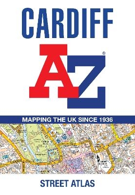
Cardiff A-Z Street Atlas
Seiten
2025
|
8th Revised edition
Harpercollins (Verlag)
978-0-00-873084-0 (ISBN)
Harpercollins (Verlag)
978-0-00-873084-0 (ISBN)
- Noch nicht erschienen (ca. März 2025)
- Portofrei ab CHF 40
- Auch auf Rechnung
- Artikel merken
Navigate your way around Cardiff with this detailed and easy-to-use A-Z Street Atlas.
Printed in full-colour, paperback format, this atlas contains 107 pages of continuous street mapping.
The main mapping covers Cardiff and Newport at a scale of 4 inches to 1 mile, featuring postcode districts, one-way streets, park and ride sites, and safety camera locations.
Areas covered include:
Pontypridd
Caerphilly
Cwmbran
Pontypool
Caerleon
Penarth
Barry
Rhoose
Llantwit Major
Separate coverage of Chepstow, Caldicot, Magor and Cowbridge is provided.
The large-scale street map of Cardiff city centre – at a scale of 8 inches to 1 mile – includes:
Postcode map of the Cardiff area
Road map of the Cardiff area
Waterbus stops
A comprehensive index lists streets, selected flats, walkways and places of interest, place, area and station names. Additional healthcare (hospitals, walk-in centres and hospices) are indexed as well.
Britain’s leading street map publisher providing cartographic services, digital data products and paper mapping publications (including Street Atlases, Visitors Guides, Great Britain Road Atlases and The Adventure Series).
| Erscheint lt. Verlag | 27.3.2025 |
|---|---|
| Verlagsort | London |
| Sprache | englisch |
| Maße | 149 x 215 mm |
| Gewicht | 270 g |
| Themenwelt | Reisen ► Karten / Stadtpläne / Atlanten ► Europa |
| Schulbuch / Wörterbuch ► Lexikon / Chroniken | |
| ISBN-10 | 0-00-873084-9 / 0008730849 |
| ISBN-13 | 978-0-00-873084-0 / 9780008730840 |
| Zustand | Neuware |
| Haben Sie eine Frage zum Produkt? |
Mehr entdecken
aus dem Bereich
aus dem Bereich
Buch | Spiralbindung (2024)
Freytag-Berndt und ARTARIA (Verlag)
CHF 41,85


