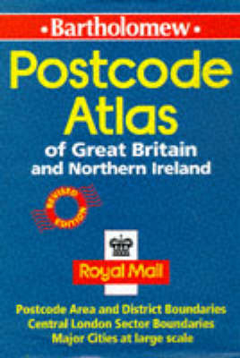
Postcode Atlas of Great Britain and Northern Ireland
Seiten
1998
Collins (Verlag)
978-0-7028-3682-4 (ISBN)
Collins (Verlag)
978-0-7028-3682-4 (ISBN)
- Titel ist leider vergriffen;
keine Neuauflage - Artikel merken
Zu diesem Artikel existiert eine Nachauflage
Features maps showing the postcode areas and districts for the whole of Great Britain and Northern Ireland. Also included in the atlas are: indexes to place names and postcode abbreviations; information on the structure and use of postcodes; and enlarged maps of central London and conurbations.
| Erscheint lt. Verlag | 6.4.1998 |
|---|---|
| Verlagsort | London |
| Sprache | englisch |
| Maße | 216 x 303 mm |
| Gewicht | 1150 g |
| Themenwelt | Reisen ► Karten / Stadtpläne / Atlanten ► Europa |
| ISBN-10 | 0-7028-3682-6 / 0702836826 |
| ISBN-13 | 978-0-7028-3682-4 / 9780702836824 |
| Zustand | Neuware |
| Informationen gemäß Produktsicherheitsverordnung (GPSR) | |
| Haben Sie eine Frage zum Produkt? |
Mehr entdecken
aus dem Bereich
aus dem Bereich
Buch | Spiralbindung (2024)
Freytag-Berndt und ARTARIA (Verlag)
CHF 41,85


