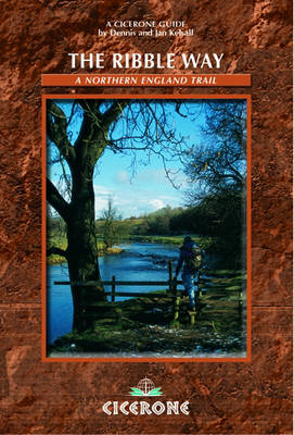
The Ribble Way
Cicerone Press (Verlag)
978-1-85284-456-1 (ISBN)
- Titel ist leider vergriffen;
keine Neuauflage - Artikel merken
Guidebook to the delightful Ribble Way long-distance trail which traces the full length of the Ribble valley. The route is described from the Lancashire village of Longton, near the estuary mouth, to the source of the Ribble high on Cam Fell in the Yorkshire Dales.
The 71 mile (113km) Way is described in seven stages, the route alternating from one side of the valley to the other, generally making use of road bridges to cross the river. Initially forcing a passage between high, rugged moorland hills the river then breaks free to wind through gentler countryside south of Settle, meandering lazily through alternating pasture and ancient woodland. Beyond Preston, the river dramatically changes yet again, trained to run straight to the Irish Sea; but further to the west, a vast expanse of the salt marsh still remains and attracts huge populations of birds particularly in winter.
This guidebook provides useful information for every stage, from accommodation to available facilities, as well as OS map extracts and details on points of interest along the way.
Dennis and Jan Kelsall are professional outdoor writers and photographers, contributing to various magazines and producing a weekly walking feature for the Lancashire Evening Post. They have a keen interest in the environment, its geology, flora and wildlife. Other titles produced by Dennis and Jan Kelsall and published by Cicerone are 'The Pembrokeshire Coastal Path' and 'Walking in Pembrokeshire'.
Chapter 1 Longton to Penwortham Bridge
Chapter 2 Penwortham Bridge to Ribchester
Chapter 3 Ribchester to Brungerley Bridge
Chapter 4 Brungerley Bridge to Gisburn Bridge
Chapter 5 Gisburn Bridge to Settle
Chapter 6 Settle to Horton in Ribblesdale
Chapter 7 Horton in Ribblesdale to the Ribble's source
| Erscheint lt. Verlag | 16.7.2010 |
|---|---|
| Zusatzinfo | 14 OS maps and 70 colour photos |
| Verlagsort | Kendal |
| Sprache | englisch |
| Maße | 116 x 172 mm |
| Gewicht | 180 g |
| Themenwelt | Sachbuch/Ratgeber ► Sport |
| Reiseführer ► Europa ► Großbritannien | |
| ISBN-10 | 1-85284-456-6 / 1852844566 |
| ISBN-13 | 978-1-85284-456-1 / 9781852844561 |
| Zustand | Neuware |
| Haben Sie eine Frage zum Produkt? |
aus dem Bereich


