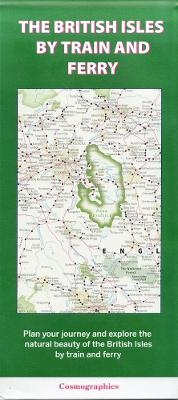
The British Isles by Train and Ferry
2023
Cosmographics Ltd (Verlag)
978-0-9574472-2-6 (ISBN)
Cosmographics Ltd (Verlag)
978-0-9574472-2-6 (ISBN)
A detailed map showing how the rail network, along with ferries to more isolated areas, link to the beautiful landscape and scenery of the British Isles. Map includes National Parks, Areas of Outstanding Natural Beauty, forest and woodland areas and heritage coast. Great for planning your journey to explore the British countryside.
| Erscheint lt. Verlag | 24.7.2023 |
|---|---|
| Sprache | englisch |
| Maße | 110 x 250 mm |
| Themenwelt | Reisen ► Karten / Stadtpläne / Atlanten ► Europa |
| Reiseführer ► Europa ► Großbritannien | |
| Reiseführer ► Europa ► Irland | |
| ISBN-10 | 0-9574472-2-1 / 0957447221 |
| ISBN-13 | 978-0-9574472-2-6 / 9780957447226 |
| Zustand | Neuware |
| Haben Sie eine Frage zum Produkt? |
Mehr entdecken
aus dem Bereich
aus dem Bereich
Karte (gefalzt) (2023)
Michelin Editions des Voyages (Verlag)
CHF 25,90


