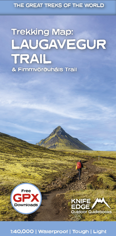
Trekking Map: Iceland's Laugavegur Trail (& Fimmvorduhals Trail)
1:40,000 mapping; Free GPX downloads; Waterproof; Tough; Light
Seiten
2023
Knife Edge Outdoor Limited (Verlag)
978-1-912933-50-1 (ISBN)
Knife Edge Outdoor Limited (Verlag)
978-1-912933-50-1 (ISBN)
Waterproof sheet map for Iceland's Laugavegur Trail (& Fimmvorduhals Trail): 1:40,000. Includes free GPX downloads for the trails.
The definitive map to Iceland's two best trails: larger scale and more detail than any other map. Made specifically for the treks by Knife Edge Outdoor Guidebooks.
- Waterproof
- Free GPX downloads
- Tough
- Lightweight
- All huts/campsites are marked
- Information on distances, times and altitude gain/loss between huts/campsites
- Hot springs and fumaroles are marked
- Unfolded 486 x 696mm.
The Laugavegur Trail is one of the world's most beautiful and aspirational treks. It leads you into the heart of Iceland's unique ice-capped, volcanic terrain. Experience spectacular and unusual landscapes, the likes of which you will not find anywhere else on the planet. Impressive volcanic peaks are a constant companion and steam gushes from the ground. This is Iceland at its best and it will be an adventure that you will never forget.
| Erscheint lt. Verlag | 22.5.2023 |
|---|---|
| Reihe/Serie | Knife Edge guidebooks |
| Sprache | englisch |
| Maße | 116 x 243 mm |
| Themenwelt | Sachbuch/Ratgeber ► Sport |
| Reisen ► Karten / Stadtpläne / Atlanten ► Europa | |
| Reisen ► Sport- / Aktivreisen ► Europa | |
| ISBN-10 | 1-912933-50-0 / 1912933500 |
| ISBN-13 | 978-1-912933-50-1 / 9781912933501 |
| Zustand | Neuware |
| Haben Sie eine Frage zum Produkt? |
Mehr entdecken
aus dem Bereich
aus dem Bereich
Straßen- und Freizeitkarte 1:250.000
Karte (gefalzt) (2023)
Freytag-Berndt und ARTARIA (Verlag)
CHF 19,90
Karte (gefalzt) (2023)
Freytag-Berndt und ARTARIA (Verlag)
CHF 19,90
Östersund
Karte (gefalzt) (2023)
Freytag-Berndt und ARTARIA (Verlag)
CHF 21,90


