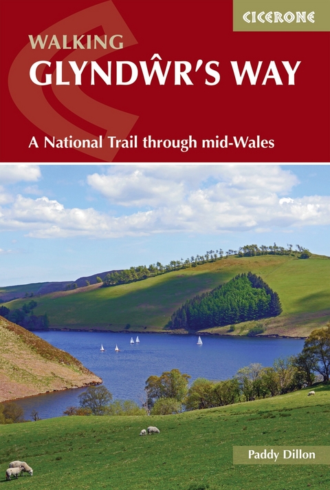
Walking Glyndwr's Way
A National Trail through mid-Wales
Seiten
2024
|
3rd Revised edition
Cicerone Press (Verlag)
978-1-78631-129-0 (ISBN)
Cicerone Press (Verlag)
978-1-78631-129-0 (ISBN)
Guidebook to walking Glyndwr's Way, a long-distance National Trail through mid-Wales. The 135 mile route from Knighton to Welshpool via Machynlleth takes 9 days to walk, and 2 more days (29 miles) to complete the loop down the Offa's Dyke Path to create a circular trail. A lovely trail through quiet hills, forests and rolling countryside.
A guidebook to walking the 217km (135 mile) Glyndwr’s Way between Knighton and Welshpool via Machynlleth. This long-distance National Trail is suitable for any reasonably fit walker and can be walked in nine days.
The route is presented in nine stages between 18 and 29km (11-18) miles in length with the additional options of adding two Offa’s Dyke National Trail stages to form a circular trail and ascending Pumlumon Fawtr.
1:50,000 OS maps provided for each stage
Detailed information on accommodation, facilities and public transport along the route
Highlights include Abbeycwmhir ruins, Llyn Clywedog, Dylife mines, Parliament House at Machynlleth, Dyfnant Forest, Llyn Efyrnwy, Ann Griffiths Walk, Powis Castle
Pronunciation guide and topographical glossary included
GPX files available to download
Paddy Dillon is a prolific walker and guidebook writer, with over 100 guidebooks to his name and contributions to 40 other titles. He has written for several outdoor magazines and other publications and has appeared on radio and television. Paddy uses a tablet computer to write as he walks. His descriptions are therefore precise, having been written at the very point at which the reader uses them. Paddy is an indefatigable long-distance walker who has walked all of Britain's National Trails and several European trails. He has also walked in Nepal, Tibet, Korea and the Rocky Mountains of Canada and the US. Paddy is a member of the Outdoor Writers and Photographers Guild and President of the Backpackers Club.
| Erscheinungsdatum | 20.02.2024 |
|---|---|
| Reihe/Serie | Cicerone guidebooks |
| Zusatzinfo | 13 maps, colour photographs |
| Verlagsort | Kendal |
| Sprache | englisch |
| Maße | 116 x 172 mm |
| Gewicht | 190 g |
| Themenwelt | Sachbuch/Ratgeber ► Sport |
| Reiseführer ► Europa ► Großbritannien | |
| Reisen ► Sport- / Aktivreisen ► Europa | |
| ISBN-10 | 1-78631-129-1 / 1786311291 |
| ISBN-13 | 978-1-78631-129-0 / 9781786311290 |
| Zustand | Neuware |
| Informationen gemäß Produktsicherheitsverordnung (GPSR) | |
| Haben Sie eine Frage zum Produkt? |
Mehr entdecken
aus dem Bereich
aus dem Bereich
Geschichten, Geheimnisse und anderes cooles Zeug
Buch | Softcover (2024)
MAIRDUMONT (Verlag)
CHF 25,90


