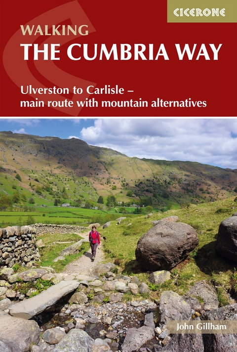
Walking The Cumbria Way
Cicerone Press (Verlag)
978-1-78631-133-7 (ISBN)
A guidebook to walking the Cumbria Way, a 188km (73 mile) route between Ulverston and Carlisle. Suitable for walkers with some experience, this long-distance route through the heart of the Lake District can be walked in 5 days, but there is plenty of opportunity to plan your itinerary for a more easy-going 7 to 8 days.
This largely low-level route is described here in five stages of between 19 and 26 kms (12 – 16 miles). Alternative mountain days can be added to include the Coniston Fells, Glaramara and Skiddaw.
Route described from south to north with 1:50,000 OS mapping for each stage
Detailed information on accommodation, facilities and public transport along the route
Variations to the itinerary suggested depending on required difficulty and time frame
Route summary tables and accommodation listings help you plan your itinerary
GPX files available to download
John Gillham has been a professional writer, illustrator and photographer since 1989. He writes for several outdoors publications, and two of his books have won the Outdoor Writers & Photographers Guild Award for Excellence.
Map key
Introduction
The main route
The mountain routes
Wildlife and plants
Geology (Ronald Turnbull)
When to go
Getting there
Accommodation
Safety
Planning your itinerary
What to take
Maps
Using GPS
Using this guide
The Cumbria Way
Stage 1 Ulverston to Coniston (or Torver)
Stage 2 Coniston to Great Langdale
Stage 2A Torver to Great Langdale - mountain route
Stage 3 Great Langdale to Keswick
Stage 3A Great Langdale to Keswick - mountain route
Stage 4 Keswick to Caldbeck
Stage 4A Keswick to Caldbeck - mountain route
Stage 4B Keswick to Caldbeck - foul weather route
Stage 5 Caldbeck to Carlisle
Appendix A Route summary table
Appendix B Facilities summary table
Appendix C Accommodation stage by stage
Appendix D Useful contacts
| Erscheinungsdatum | 17.08.2022 |
|---|---|
| Reihe/Serie | Cicerone guidebooks |
| Verlagsort | Kendal |
| Sprache | englisch |
| Maße | 116 x 172 mm |
| Gewicht | 160 g |
| Themenwelt | Sachbuch/Ratgeber ► Sport |
| Reisen ► Sport- / Aktivreisen ► Europa | |
| ISBN-10 | 1-78631-133-X / 178631133X |
| ISBN-13 | 978-1-78631-133-7 / 9781786311337 |
| Zustand | Neuware |
| Informationen gemäß Produktsicherheitsverordnung (GPSR) | |
| Haben Sie eine Frage zum Produkt? |
aus dem Bereich
