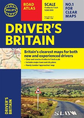
Philip's Driver's Atlas Britain
(A4 Paperback)
Seiten
2021
Philip's (Verlag)
978-1-84907-568-8 (ISBN)
Philip's (Verlag)
978-1-84907-568-8 (ISBN)
Perfect for new drivers and the more experienced motorist, this great value Driver's Road Atlas has been fully updated with Britain's clearest and most detailed mapping from Philip's.
PHILIP'S: BRITAIN'S CLEAREST MAPS FOR NEW DRIVERS AND EXPERIENCED MOTORISTS ALIKE
- Clear 4 miles to 1 inch maps - fully updated for easy driving
- Superb detail for journey planning and leisure activities
- London street plan plus 47 town and city centre plans
- Route planner, distance table and London approaches map
- Excellent value for money at only £9.99
Philip's Driver's Atlas Britain is an excellent value, concise paperback atlas containing all the map features normally included only in the more expensive road atlases. The front section has a route planner, key to map symbols, London approaches, plus a key map and distance table.
For easy navigating the atlas covers all of Britain at 4 miles to 1 inch (parts of Scotland at 5 miles to 1 inch, Orkney and Shetland at 6 miles to 1 inch). The maps clearly mark service areas, roundabouts and multi-level junctions, and in rural areas distinguish between roads over and under 4 metres wide - a boon for drivers of wide vehicles.
The town plan section includes a street plan of London plus 47 town and city centre maps, marking car parks and places of interest.
Completing the atlas is a huge index of 28,000 place names, so you can always find your desired destination.
Philip's has been at the forefront of creating maps and atlases since 1834. Whether a local street map or a fact-packed World Atlas, we use the most up-to-date technology, expertise and our global network to ensure our customers have all the information they need.
| Erscheinungsdatum | 14.10.2021 |
|---|---|
| Reihe/Serie | Philip's Road Atlases |
| Verlagsort | London |
| Sprache | englisch |
| Maße | 210 x 296 mm |
| Gewicht | 460 g |
| Themenwelt | Reisen ► Karten / Stadtpläne / Atlanten ► Europa |
| ISBN-10 | 1-84907-568-9 / 1849075689 |
| ISBN-13 | 978-1-84907-568-8 / 9781849075688 |
| Zustand | Neuware |
| Haben Sie eine Frage zum Produkt? |
Mehr entdecken
aus dem Bereich
aus dem Bereich
Buch | Spiralbindung (2024)
Freytag-Berndt und ARTARIA (Verlag)
CHF 41,85


