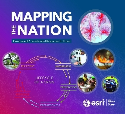
Mapping the Nation
Governments' Coordinated Responses to Crises
Seiten
2021
Environmental Systems Research Institute Inc.,U.S. (Verlag)
978-1-58948-660-7 (ISBN)
Environmental Systems Research Institute Inc.,U.S. (Verlag)
978-1-58948-660-7 (ISBN)
- Titel ist leider vergriffen;
keine Neuauflage - Artikel merken
An annual compilation of inspiring stories of government GIS work, this year's volume, Mapping the Nation: Governments Coordinated Responses to Crises, focuses on crisis management.
Mapping the Nation: Governments Coordinated Responses to Crises continues the pattern of annual national mapping books from Esri that highlight inspiring GIS work by the public sector. This year, this book focuses on the many ways GIS can help governments in times of crisis.
These stories highlight how GIS was applied during the COVID-19 pandemic with a focus on how the public sector uses GIS to serve all people. Mapping the Nation: Governments Coordinated Responses to Crises details how GIS helps gather details about people and place to assist the vulnerable, rally responders, and lend clarity in times of crisis. These stories provide a sample of the work of thousands of public sector professionals around the world who are using GIS to navigate this new territory. They detail how governments at a local, national, and global scale turn to GIS for crisis management.
Governments have applied GIS to all manner of challenges. Many states and localities used their understanding of their workers and businesses to forecast and address economic hardship, and to plan for contingencies and recovery. Cities across the country have used GIS to examine and understand who they serve—and who they leave out—to adjust budgets to address inequities.
In this time of crisis, we have seen the value of a societal GIS with governments embracing it from the point of seeing details on a dashboard to the delivery of assistance.
An Esri publication.
Introduction
Foreword
Warning About Spread / Real-time Tracking
Guiding Action/ Field Work
Rallying Resources / Creating Community
Forecasting Needs/ Modeling Capacity
Disease Surveillance / Community Contact Tracing
Addressing Vulnerability and Equity / Data and Spatial Analysis
Planning for Recovery / Damage Assessment and Resilience Strategy
Adapting to New Realities / Spatial Analytics and Indoor Mapping
| Erscheinungsdatum | 10.05.2021 |
|---|---|
| Verlagsort | Redlands |
| Sprache | englisch |
| Maße | 254 x 279 mm |
| Themenwelt | Reisen ► Karten / Stadtpläne / Atlanten ► Welt / Arktis / Antarktis |
| Naturwissenschaften ► Geowissenschaften ► Geografie / Kartografie | |
| Sozialwissenschaften ► Politik / Verwaltung ► Staat / Verwaltung | |
| ISBN-10 | 1-58948-660-9 / 1589486609 |
| ISBN-13 | 978-1-58948-660-7 / 9781589486607 |
| Zustand | Neuware |
| Haben Sie eine Frage zum Produkt? |
Mehr entdecken
aus dem Bereich
aus dem Bereich
mit Fakten und Infos zu allen Kontinenten
Buch | Hardcover (2024)
Kosmos Kartografie in der Franckh-Kosmos Verlags-GmbH & Co. …
CHF 35,90


