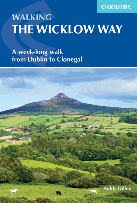
Walking the Wicklow Way
Cicerone Press (Verlag)
978-1-78631-050-7 (ISBN)
A guidebook to walking the Wicklow Way between Dublin and Clonegal. Covering 130km (81 miles), Ireland’s first long-distance trail takes around 1 week to hike and is suitable for any reasonably fit walker.
The route is described from north to south in 7 stages, each between 9 and 23km (6–14 miles) in length. A variety of optional variants following adjacent trails are also included.
1:50,000 maps included for each stage
GPX files available to download
Detailed information about accommodation, refreshments and public transport along the route
Advice on planning and preparation
Highlights include Glendalough and the ruins of the Monastic City
Paddy Dillon is a prolific outdoor writer with over 90 guidebooks to his name, and contributions to 40 other publications. Paddy lives near the Lake District and has walked in every county in England, Scotland, Ireland and Wales; writing about walks in every one of them. He enjoys simple day walks, challenging long-distance walks, and is a dedicated island-hopper. He has led guided walks and walked extensively in Europe, as well as in Nepal, Tibet, Korea, Africa and the Rocky Mountains of Canada and the United States.
Map key
Overview map
Route summary table
Introduction
Geology
Scenery
History
Wildlife
Plantlife
Wicklow Mountains National Park
Travel to and from the Wicklow Way
When to walk
Accommodation
Food and drink
Money matters
Communications
Daily schedule
What to pack
Waymarking and access
Maps of the route
Emergencies
Using this guide
The Wicklow Way
Day 1 Marlay Park to Knockree
Day 2 Knockree to Oldbridge
Day 3 Oldbridge to Glendalough
Day 4 Glendalough to Glenmalure
Day 5 Glenmalure to Moyne
Day 6 Moyne to Boley Bridge
Day 7 Boley Bridge to Clonegal
Appendix A Accommodation list
Appendix B Useful contacts
Appendix C Irish place names
| Erscheinungsdatum | 17.05.2021 |
|---|---|
| Reihe/Serie | Cicerone guidebooks |
| Zusatzinfo | 9 maps, 14 elevation profiles and over 35 colour photos |
| Verlagsort | Kendal |
| Sprache | englisch |
| Maße | 116 x 172 mm |
| Gewicht | 140 g |
| Themenwelt | Sachbuch/Ratgeber ► Sport |
| Reisen ► Sport- / Aktivreisen ► Europa | |
| ISBN-10 | 1-78631-050-3 / 1786310503 |
| ISBN-13 | 978-1-78631-050-7 / 9781786310507 |
| Zustand | Neuware |
| Haben Sie eine Frage zum Produkt? |
aus dem Bereich
