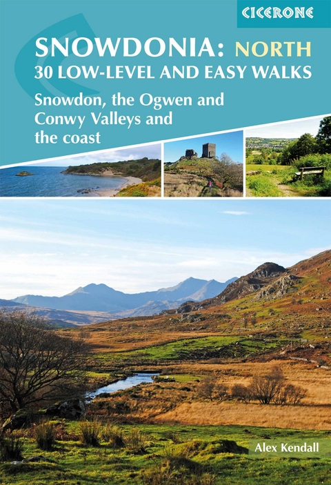
Snowdonia: 30 Low-level and Easy Walks - North
Snowdon, the Ogwen and Conwy Valleys and the coast
Seiten
2019
Cicerone Press (Verlag)
978-1-85284-984-9 (ISBN)
Cicerone Press (Verlag)
978-1-85284-984-9 (ISBN)
Guidebook describing 30 walks in Snowdonia, Wales. Routes are mostly low level and on clear paths and showcase the region's beautiful scenery and rich history and culture. Part of a 2-volume set, this northern volume includes the Snowdon area, the Ogwen and Conwy valleys, Betws-y-Coed, Beddgelert, Ffestiniog and the coast.
A guidebook to 30 low-level and easy day walks in the northern part of Eryri (Snowdonia) National Park in Wales. All circular except for Walk 25, which makes use of the railway link between Porthmadog and Blaeneau Ffestiniog, the routes vary in length and terrain ensuring that there is something for walkers of all levels of fitness and experience.
The walks range from 4–22km (2–14 miles) in length and can be enjoyed in 2–7 hours, although most are at the shorter end of the scale. They are arranged geographically into 4 areas: the north coast and the lower Conwy valley, Betws y Coed and Gwydyr forest, Snowdon and the Ogwen valley, and the Vale of Ffestiniog and the west.
1:25,000 or 1:50,000 OS maps for each walk
Details given of terrain, refreshments and access for each walk
Information given on local history, geology and wildlife
GPX files available to download
Part of a 2-volume set, an accompanying Cicerone guidebook Snowdonia: Low-level and Easy Walks – South is also available
Alex Kendall is a mountain leader, working in summer and winter throughout the UK and abroad, leading groups on day walks, challenges and long distance journeys. He enjoys getting people into the outdoors, especially through supervising Duke of Edinburgh's Award expeditions and running weekend walking trips for adults. He has been walking in Snowdonia for over 10 years having been introduced to these mountains as a student.
| Erscheinungsdatum | 19.07.2019 |
|---|---|
| Reihe/Serie | Cicerone guidebooks |
| Verlagsort | Kendal |
| Sprache | englisch |
| Maße | 116 x 172 mm |
| Gewicht | 210 g |
| Themenwelt | Sachbuch/Ratgeber ► Sport |
| Reiseführer ► Europa ► Großbritannien | |
| Reisen ► Sport- / Aktivreisen ► Europa | |
| ISBN-10 | 1-85284-984-3 / 1852849843 |
| ISBN-13 | 978-1-85284-984-9 / 9781852849849 |
| Zustand | Neuware |
| Haben Sie eine Frage zum Produkt? |
Mehr entdecken
aus dem Bereich
aus dem Bereich
individuell reisen mit vielen praktischen Tipps
Buch | Softcover (2024)
Michael Müller (Verlag)
CHF 43,90
Reiseführer mit Stadtplan, 4 Spaziergängen und kostenloser Web-App
Buch | Softcover (2023)
Reise Know-How (Verlag)
CHF 22,90


