


Germany, Benelux, Austria, Switzerland, Czechia 2019 - Tourist and Motoring Atlas (A4-Spirale)
Tourist & Motoring Atlas A4 spiral
Seiten
2019
Michelin Editions des Voyages (Verlag)
978-2-06-723611-0 (ISBN)
Michelin Editions des Voyages (Verlag)
978-2-06-723611-0 (ISBN)
- Titel ist leider vergriffen;
keine Neuauflage - Artikel merken
Michelin Tourist and Motoring Atlases are the perferct travel companions for holiday planning and everyday journeys. In addition to clear and accurate mapping, the Michelin motoring altas series will help you optimise and add comfort to your journey. In scales from 1:150,000 to 1:8,500,000
Michelin's Germany, Benelux, Austria, Switzerland, Czechia and Motoring atlas is the perfect companion for an enjoyable and safe drive in Germany and North East Europe. Convenient and easy to use thanks to its spiral bound cover, Michelin tourist and motoring altas will provide you with precise and reliable information with its annually updated mapping scaled 1/300,000 - 1/600,000 and motoring regulations.
The route planner, the new street map pages as well as the time and distance charts will help you plan and optimise your journey. Tourist sights, leisure facilities and scenic route will add pleasure to your journey, whilst the new location map on top of each page will help you easily navigate within the atlas.
Michelin's tourist and motoring altas Germany Benelux Austria Switzerland features:
* Detailed mapping with a scale 1/300,000 - 1/600,000
* Mileage chart and journey times to help you plan your journey
* Key to Map Pages to quickly access your region of interest
* 57 town plans for easy navigation in urban areas
* An extensive place name index to easily identify the destination of your choice
* Comprehensive and detailed key to symbols used
* Tourist information with place of interest and leisure facilities, as well as scenic routes
* Motoring regulations
* Location map on top of each page for easy navigation within the atlas
* Highly practical street map pages embedded in the mapping of their surrounding areas
Countries covered:
Germany 1:300,000
Benelux 1:400,000
Switzerland 1:400,000
Austria 1:400,000
Czechia 1:600,000
Europe 1:3,500,000 (covering the whole of Europe 18 pages)
| Erscheinungsdatum | 08.01.2019 |
|---|---|
| Reihe/Serie | Michelin Road Atlases |
| Verlagsort | Paris |
| Sprache | englisch |
| Maße | 230 x 286 mm |
| Gewicht | 826 g |
| Themenwelt | Reisen ► Karten / Stadtpläne / Atlanten ► Deutschland |
| ISBN-10 | 2-06-723611-3 / 2067236113 |
| ISBN-13 | 978-2-06-723611-0 / 9782067236110 |
| Zustand | Neuware |
| Haben Sie eine Frage zum Produkt? |
Mehr entdecken
aus dem Bereich

aus dem Bereich
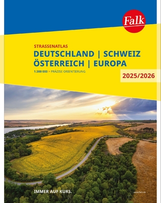
Deutschland, Schweiz, Österreich, Europa
Buch | Spiralbindung (2024)
MAIRDUMONT (Verlag)
CHF 24,90
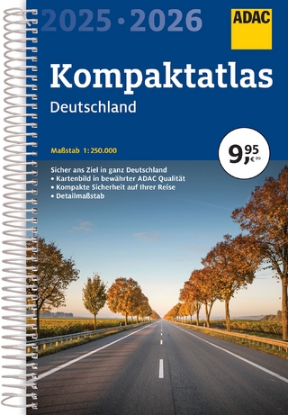
Buch | Spiralbindung (2024)
MAIRDUMONT (Verlag)
CHF 16,90
inkl. Holsteinische Schweiz und Fehmarn
Buch | Softcover (2024)
Michael Müller (Verlag)
CHF 33,90