Great World Atlas (The)
Seiten
2002
DK (Verlag)
978-0-7513-4638-1 (ISBN)
DK (Verlag)
978-0-7513-4638-1 (ISBN)
- Titel ist leider vergriffen;
keine Neuauflage - Artikel merken
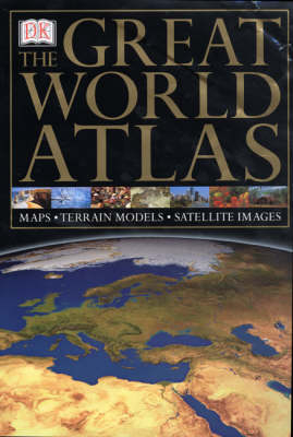
Each satellite image in this atlas is enhanced by larger-scale photographs of geographic features and each map is complemented by at-a-glance maps, terrain models and place-finders. The atlas includes 80 large-scale satellite maps, 80 continental maps, and 96 large-scale regional maps.
Each satellite image is enhanced by larger-scale photographs of geographic features and each map is complemented by at-a-glance maps, terrain models and place-finders. Includes a 80,000 cross-referenced index-gazeteer with 80 large-scale satellite maps, 80 continental maps, 96 large-scale regional maps and over 750 colour photographs.
Each satellite image is enhanced by larger-scale photographs of geographic features and each map is complemented by at-a-glance maps, terrain models and place-finders. Includes a 80,000 cross-referenced index-gazeteer with 80 large-scale satellite maps, 80 continental maps, 96 large-scale regional maps and over 750 colour photographs.
| Erscheint lt. Verlag | 31.10.2002 |
|---|---|
| Verlagsort | London |
| Sprache | englisch |
| Maße | 310 x 465 mm |
| Gewicht | 6060 g |
| Themenwelt | Reisen ► Karten / Stadtpläne / Atlanten |
| ISBN-10 | 0-7513-4638-1 / 0751346381 |
| ISBN-13 | 978-0-7513-4638-1 / 9780751346381 |
| Zustand | Neuware |
| Informationen gemäß Produktsicherheitsverordnung (GPSR) | |
| Haben Sie eine Frage zum Produkt? |
Mehr entdecken
aus dem Bereich
aus dem Bereich


