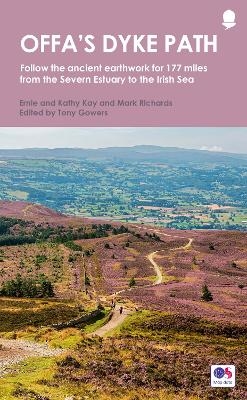
Offa's Dyke Path
Frances Lincoln (Verlag)
978-1-78131-808-9 (ISBN)
the route split into convenient sections
Ordnance Survery mapping for the entire route
comprehensive, up-to-date information on public transport, accommodation and places of interest
background information on everything from archaeology to wildlife
lavishly illustrated with colour photography throughout
Tony Gowers was Natural England's Trail Officer for the North Downs Way. He is also co-author of the National Trail Guide to the Thames Path in the Country. He lives in Kent.
How to use this guide
Key maps
Distance checklist
Other trails linking with Offa’s Dyke Path
Part One: Introduction
A frontier zone • What is Offa’s Dyke? • Landscape and geology • Origins and
management of the Path • Pleasures on the way • Wildlife • Planning your walk •
Waymarking • General information • Offa’s Dyke Path Passport
Part Two: Offa’s Dyke Path
1 Sedbury Cliffs to Monmouth
2 Monmouth to Pandy
3 Pandy to Hay-on-Wye
4 Hay-on-Wye to Kington
5 Kington to Knighton
6 Knighton to Brompton Crossroads
7 Brompton Crossroads to Buttington Bridge
8 Buttington Bridge to Llanymynech
9 Llanymynech to Chirk Mill
10 Chirk Mill to Llandegla
11 Llandegla to Bodfari
12 Bodfari to Prestatyn
Part Three: Useful Information
Contact details • Transport • Accommodation • Tourist information •
Walking holiday providers • Other useful contacts • Further reading • Ordnance
Survey maps covering Offa’s Dyke Path • Glossary of Welsh place names
| Erscheinungsdatum | 21.06.2021 |
|---|---|
| Reihe/Serie | National Trail Guides |
| Zusatzinfo | colour photos |
| Sprache | englisch |
| Maße | 130 x 210 mm |
| Themenwelt | Sachbuch/Ratgeber ► Sport |
| Reiseführer ► Europa ► Großbritannien | |
| ISBN-10 | 1-78131-808-5 / 1781318085 |
| ISBN-13 | 978-1-78131-808-9 / 9781781318089 |
| Zustand | Neuware |
| Haben Sie eine Frage zum Produkt? |
aus dem Bereich


